Lünersee – Schesaplana (2964m) – Gamsluggen – Cavelljoch – Lünersee

Exciting hike to the highest point of the Rätikon
This hike which starts in Austria will take you to the highest point of the stunning limestone Rätikon mountain range. We extended the hike by looping into Switzerland to enjoy the Swiss summer flowers and views across the Swiss Alps. Simply beautiful.
This is a circular hike starting from Douglass Hütte, Lünersee, Vandans, Austria in Vorarlberg (western Austria).
Tags: Circular hike, Public transport, Mountain transport, Food en-route, Accommodation en-route, Views of mountain lakes, Can be shortened
Rating: ![]()
Hiked by us on: 1st August 2018
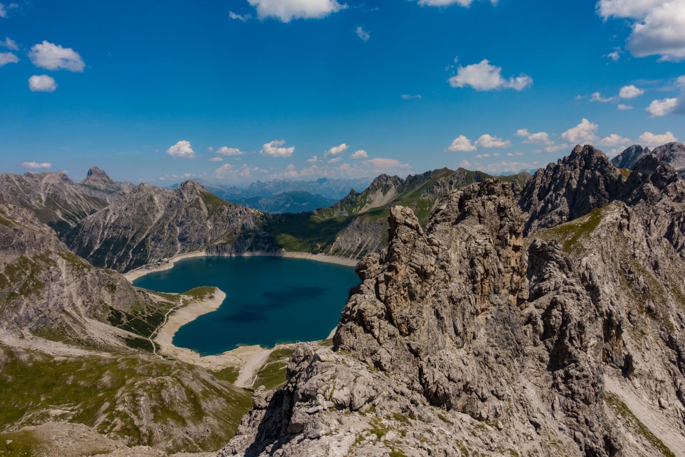
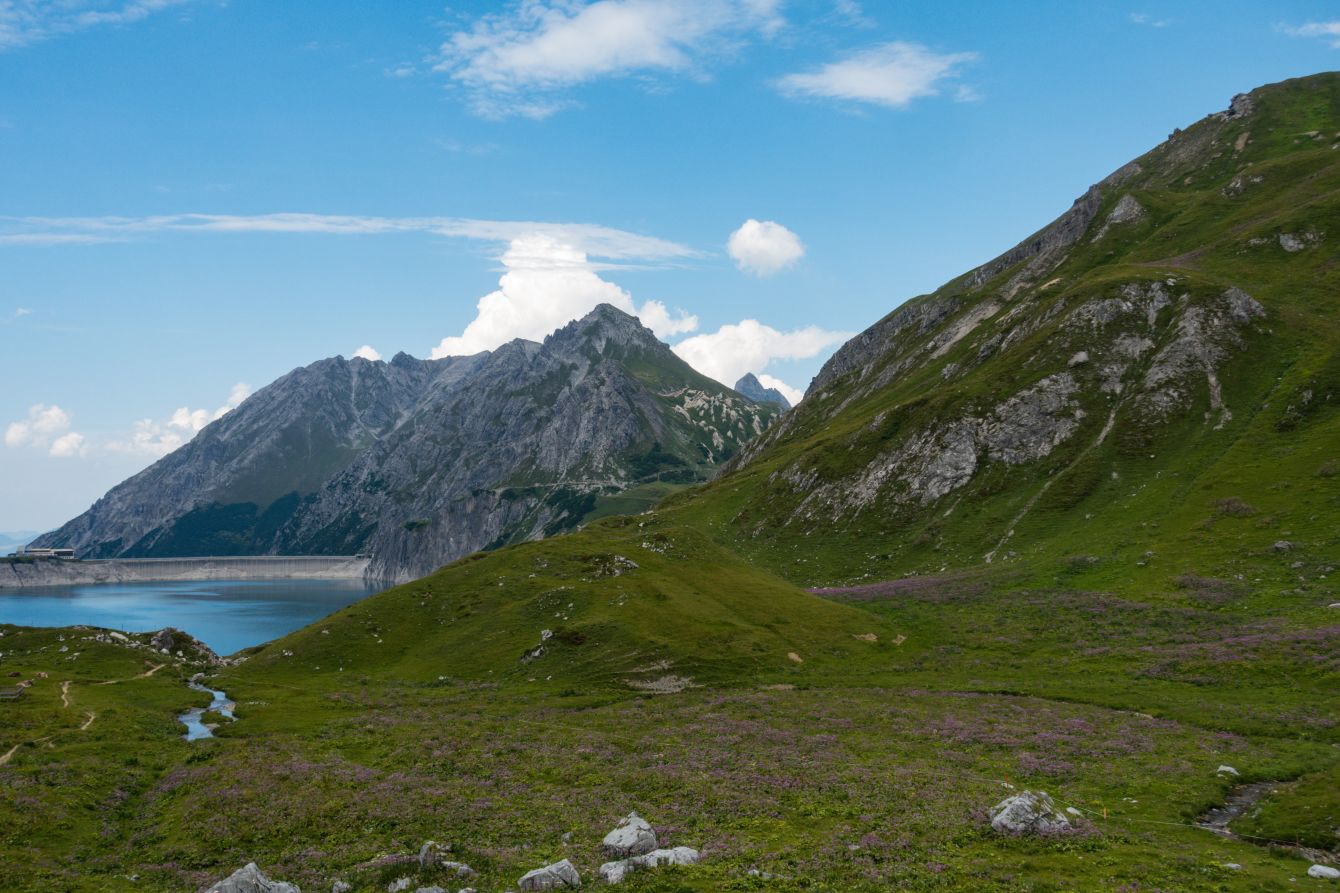
We parked at the valley station of the Lünersee cable car. You can either hike up to the Lünersee – it’s 400 height meters and a pleasant route, or you can let the gondola whisk you up in minutes.
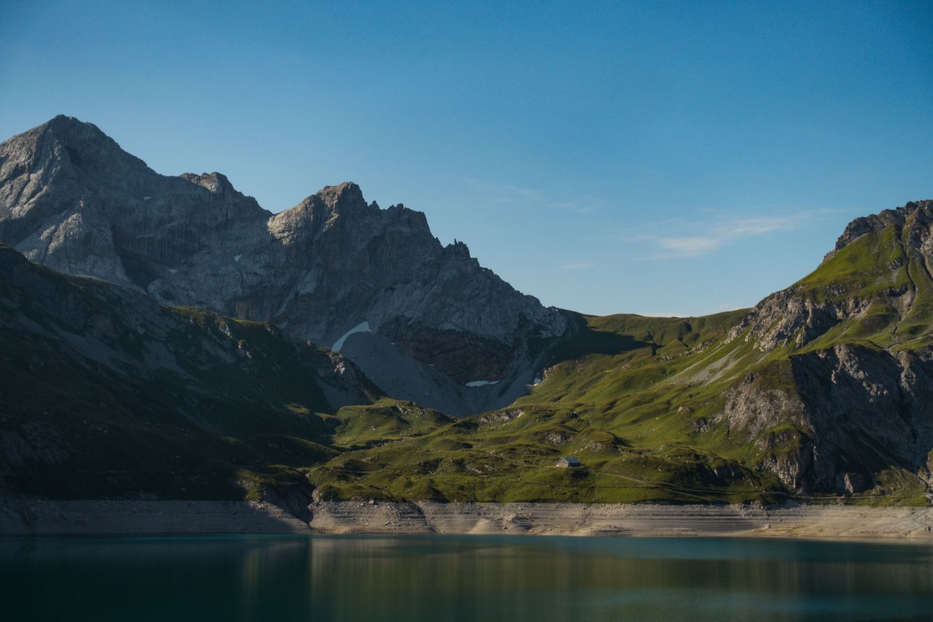
Once at the Lünersee, enjoy the views!
We then headed off to the right towards the Totalpsee and Totalphütte and reached it in about 1.5 hours. After a quick drink at the hut we headed off again and the views got better and better.
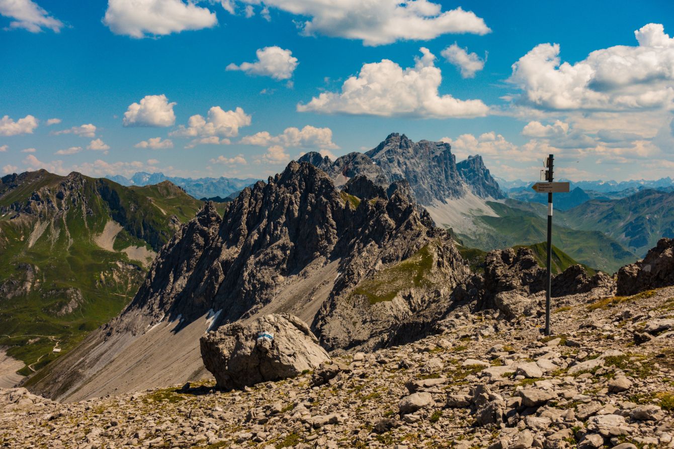
After the hut it gets very rocky, with the rock formations fascinating especially near the summit. There are some chains on this section, but it is not at all difficult.
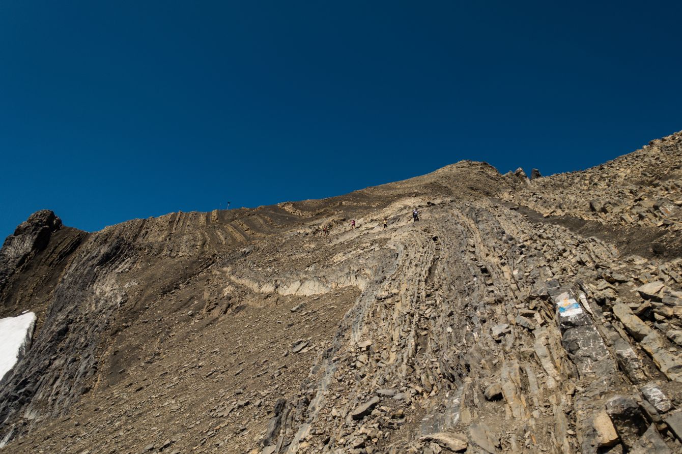
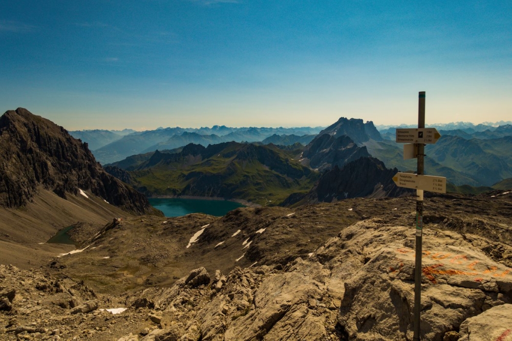
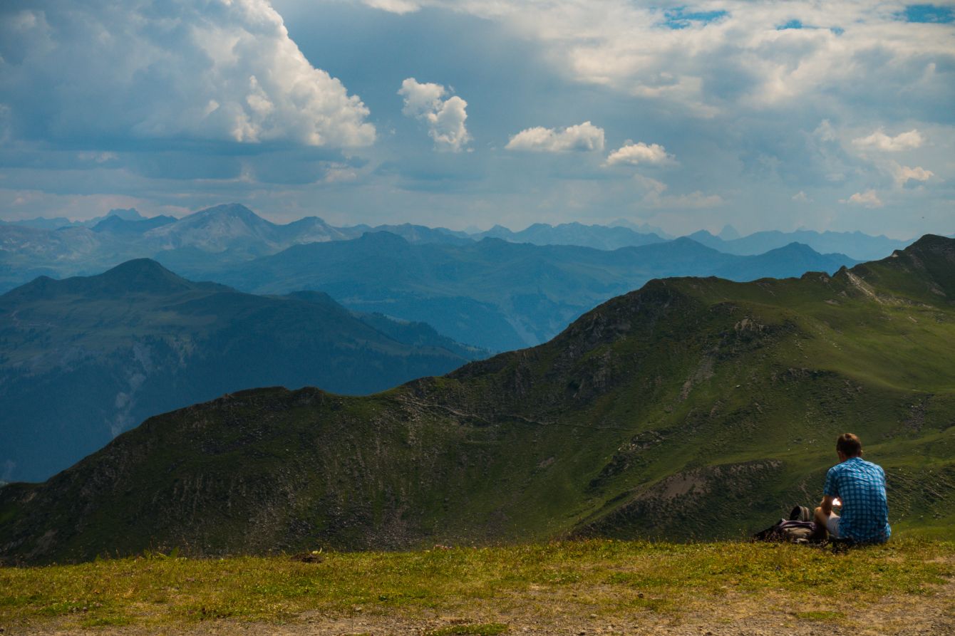
After this section it was then only another 20 minutes to the Austrian / Swiss border and then finally another 10 minutes to the summit at 2964m. We could then enjoy the amazing views from the highest point of the Rätikon range.
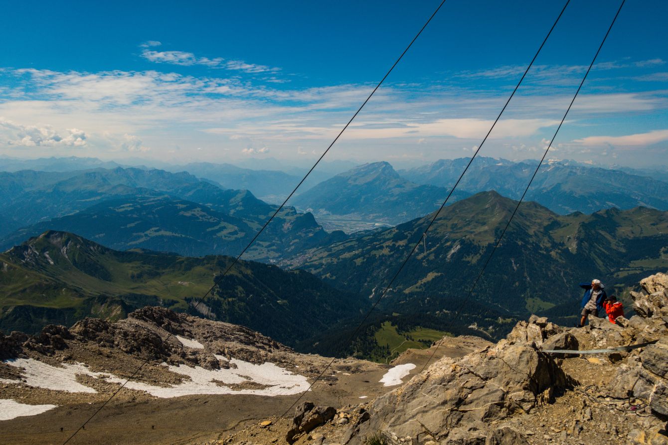
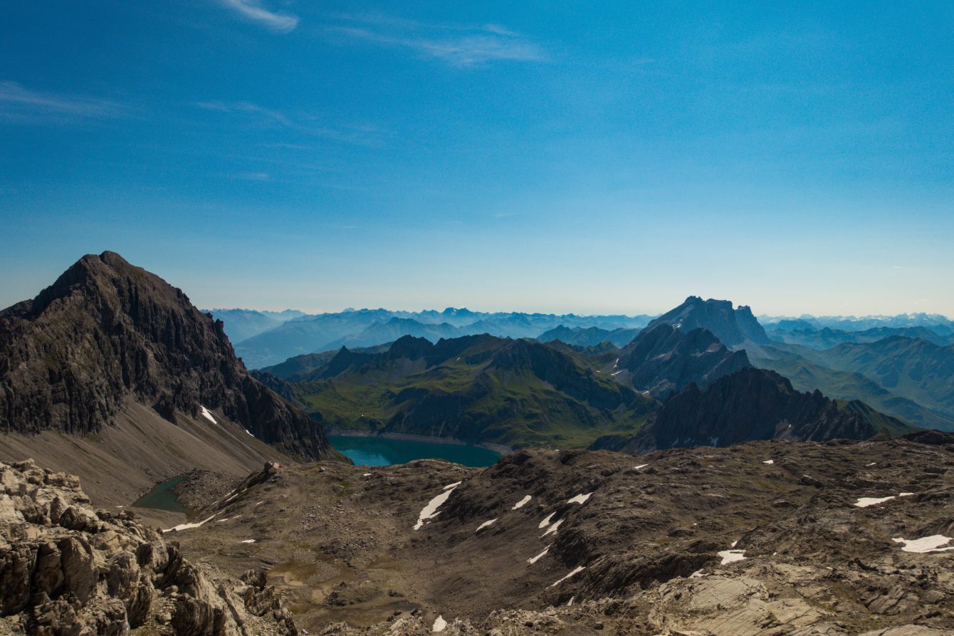
Since it was such a beautiful day and we don’t like “up and down the same route hikes” we decided to make a loop into Switzerland (well it was Swiss National day). We headed down 300 height meters into Switzerland and then made a sharp left. The views are much, much better!
This route is a little tricky, but there is a wire across the 100m or so where it is needed. After 45 minutes we were back in Austria and on the previous route to the summit – but not for long. After 15 minutes we turned right and headed towards the pass at Gamsluggen and back into Switzerland for a second time. Once at the pass, wonderful views!
It was a little steep down from the pass, but it then flattened off and we could enjoy the greenery and summer Swiss Alpine flowers. Beautiful!
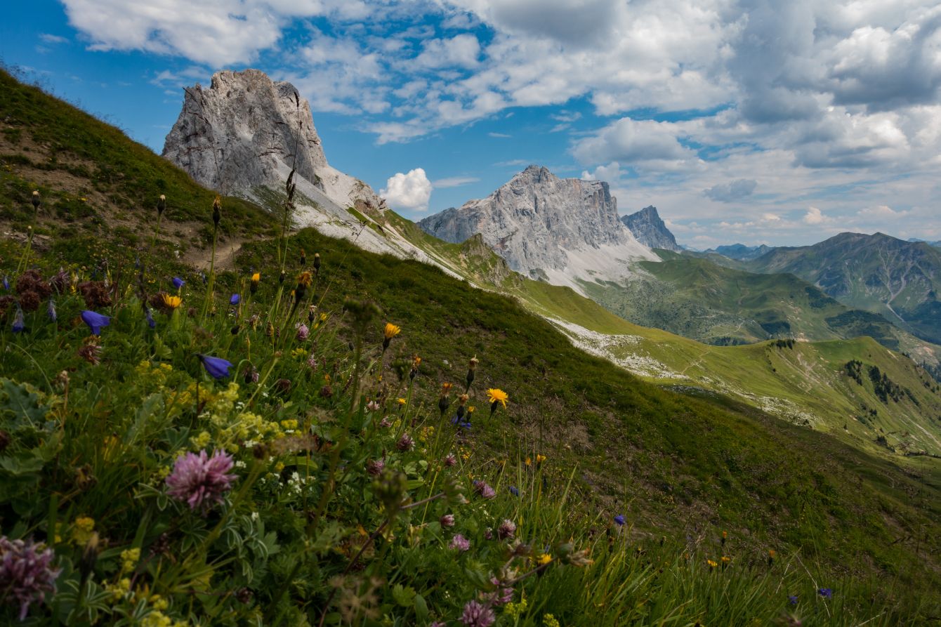
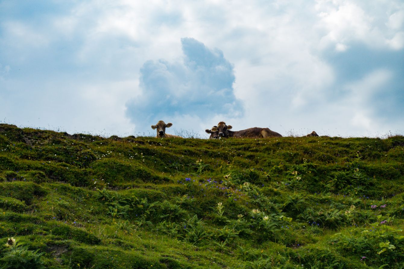
It was then around one hour to the Cavelljoch on the Swiss / Austrian border and it’s a great place to stop and gaze across the Swiss Alps.
The cows were also enjoying the views!
It was then a short downhill stroll back to Lünersee – here you can choose to go left or right around the lake. Same distance, same time.
And then the final decision of the hike is whether to walk down or take the gondola… There can sometimes be long queues for the gondola, but it whizzes up and down so quickly, you won’t be waiting long. And it’s not a problem to wait with the wonderful views!
Food, accommodation and/or villages we found on this hike
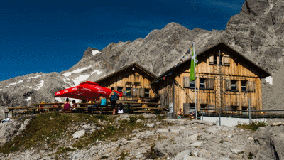
Totalphütte
(Food and accommodation)
The Totalphütte lies at an altitude of 2,385 m above the Lünsersee on a small plateau, surrounded by beautiful climbing and hiking mountains halfway to the Schesaplana. Starting from Lünersee the Totalphütte can be reached in about 1 to 1 ½ hours and even for children and older mountain lovers the ascent to Totalp is no problem. On our sun terrace we spoil you with something delicious. You can enjoy a wonderful view of the Silvretta, Verwall and Bernina mountains.
The 5 day forecast in Lünersee
Webcams
We could not find any webcams in the area close to this hike.
Need some hiking down-time?
If you need a day off from hiking, below are some of the great things you can do within 30 km from the start of this hike.
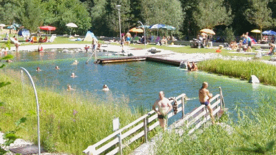
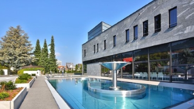
Alvier outdoor pool
(5.5 km away)
A beautiful natural outdoor pool filled by drinking water standard water
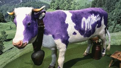
Milka chocolate factory
(11.6 km away)
Immerse yourself in the exciting discovery of the Milka chocolate world and enjoy pure adventure shopping!!
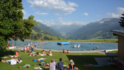
Pany outdoor pool
(14.2 km away)
If you like an outdoor pool with a view of the Alps, this is for you
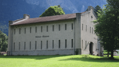
St Luzisteig military museum
(18.3 km away)
The eventful history and history of Luzisteig dates back to the 15th century.
Flaesch village
(18.6 km away)
A beautiful small village renowned for its wine growing and opportunities to buy local wine.
Tamina thermal baths
(20.2 km away)
Exclusive wellness center, treat yourself!
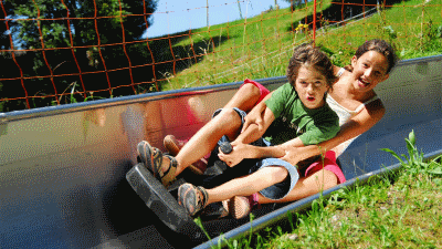
Laterns summer sledge run
(22.4 km away)
Sledging in the summer on the Laterns Sommerrodelbahn
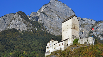
Sargans castle
(24.2 km away)
900 year old castle full of history (and a restaurant)
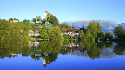
Werdenberg
(25.4 km away)
800 years of history and the smallest city in Switzerland - beautifully preserved places to visit
Rate this hike
Have you down this hike? What did you think? Please leave us a rating!
Thanks for your rating!
Leave us a comment - thanks!
2 Comments
Interested in this hike?
Please feel free to contact us for more information.
Hello 🙂 Such beautiful pics from Tour hike, thanks for sharing. We’ve planned a trip next year, but we would like to know if this route, to schesaplana, is suitable for kids, at age 11 and 14?
Many regards from Line
Hello – thanks for contacting us!
Yes, Scheseplana should be OK for your children. I guess you will stay at the hut and do it over 2 days, else it is quite long.
There is one steepish section near to the top, but not at all difficult or dangerous. You will see from our post we turned it into a circular hike, dropping into Switzerland – we always prefer circular hikes than simply up and down. If you do ‘our’ circular hike there is a second steepish section, slightly more exposed – but plenty of grips and should be manageable.
It is a wonderful mountain and the views are incredible! Please do contact us again if you like to know some more!
Elke and Alastair