Appenzellerland – possibly Switzerland’s best kept secret!
The glorious Appenzellerland hiking region is made up of two Swiss half-cantons – Appenzell Innerrhoden and Appenzell Ausserrhoden.
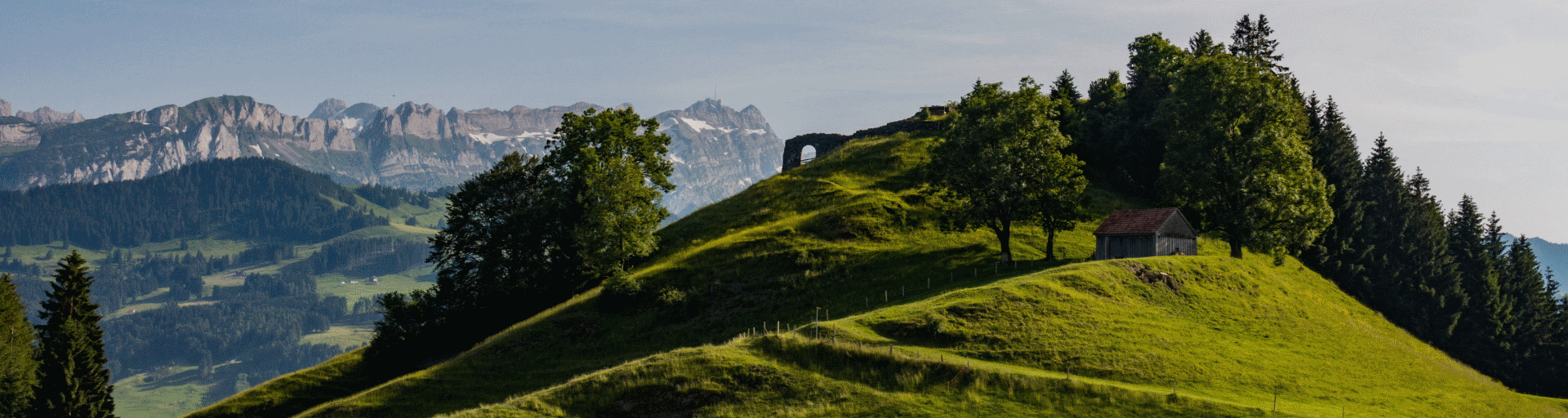
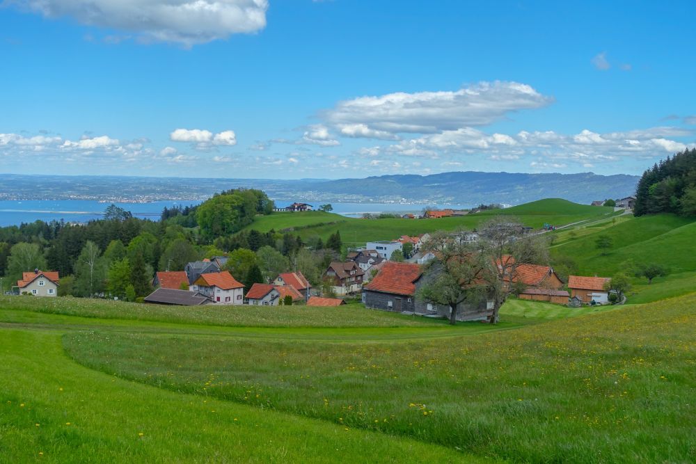
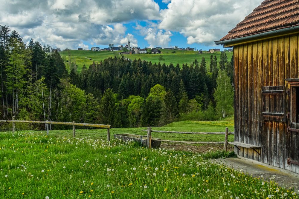
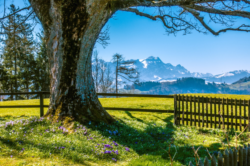
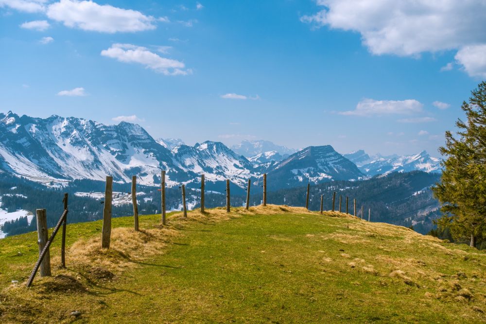
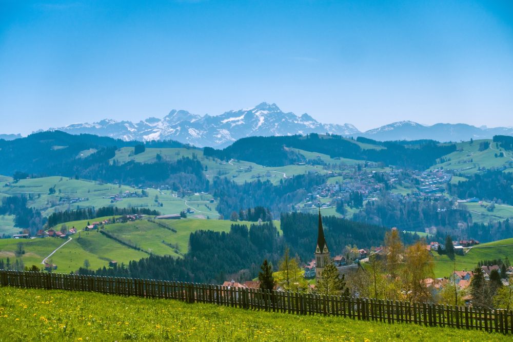
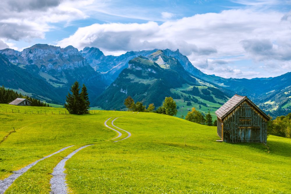
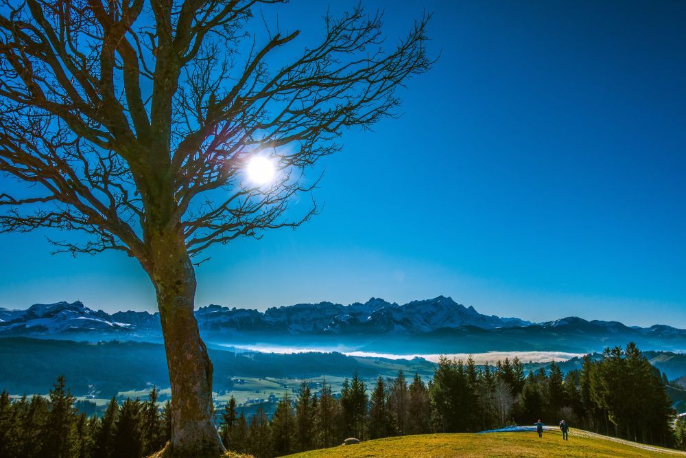
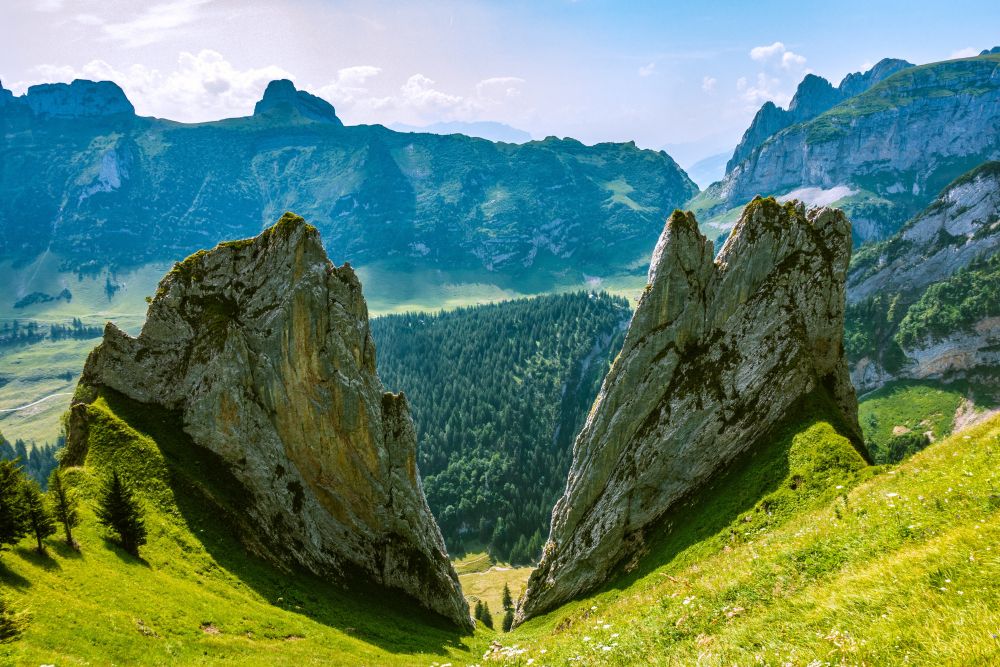
It reaches from just above famous Lake Constance to the stunning Alpstein massif. Appenzellerland is basically Switzerland condensed, featuring mountain lakes, rolling hills and impressive mountains. Some of the higher mountains keep the snow through all of the year. There are cows with bells, beautiful historic houses, cheese dairies and numerous mountain huts where you can buy fresh milk. And the public transport system might be unrivalled in the world.
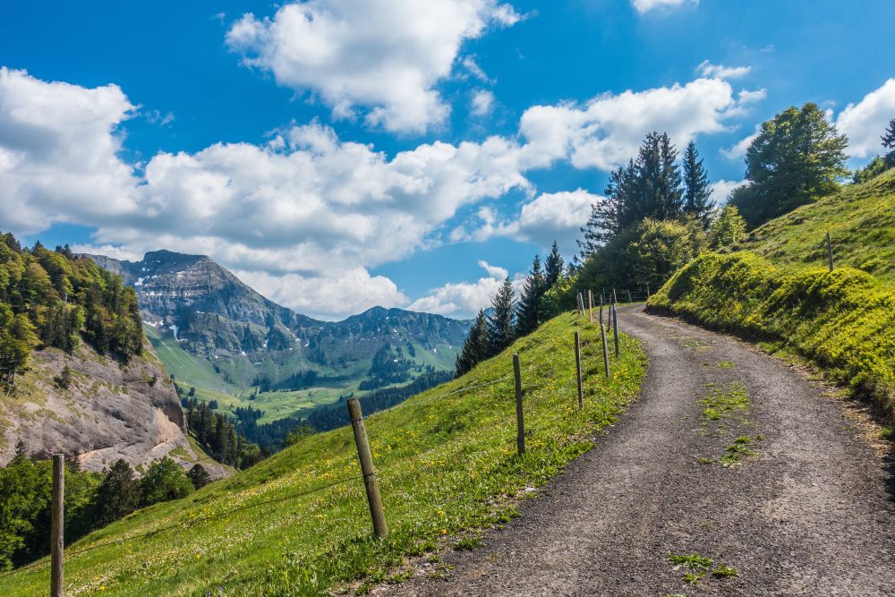
Most importantly though, Appenzellerland offers a variety of hikes. And because of the large area of rolling hills, any hike can be extended and shortened as fits your mood – the wonderful public transport will always bring you back to where you need to be!
Read about the picturesque town of Appenzell and the surrounding area on the Swiss tourism page mySwitzerland.com.
There is information on events, highlights, activities, accommodation and some wonderful impressions of the area.
Take a gondola to an amazing lookout point high above the stunning Alpstein with views to 4 countries. And experience the incredible rotating restaurant!
This is a wonderful, short and very easy hike around Lachen through flower filled fields, with great views over Lake Constance. Perfect for a Sunday afternoon or an evening stroll.
A lovely hike through the rolling hills of Appenzellerland with great views and cute farm houses, ending at the beautiful village of Stein with its cheese factory.
A wonderful and easy walk through some of the many highlights of Appenzellerland - Gäbris, Hohe Buche and Leimensteig - all with with wonderful views of Alpstein
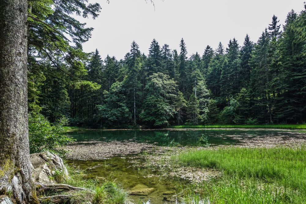
An easy, only slightly uphill walk from Eggerstanden to the cure little Forstseeli lake with views of the Rhine valley - followed by a lovely stroll through the meadows above the village of Eggerstanden.
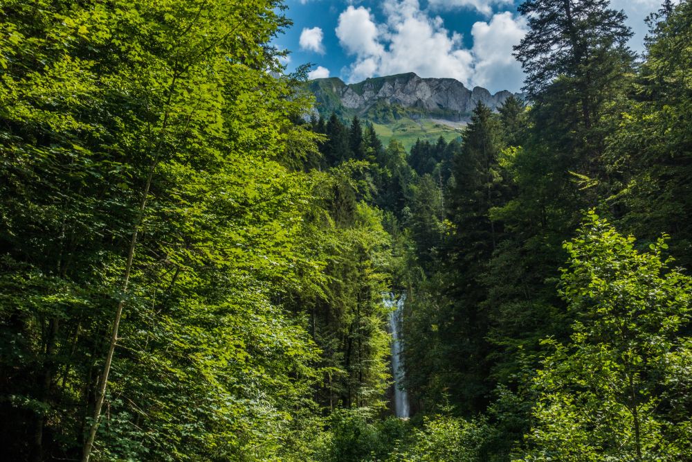
If you need a hike of only a couple of hours, then this one might be perfect for you. It's a wonderful little stroll with stunning views of the Alpstein and visits the beautiful Leuenfall waterfall.
A lovely and easy walk up Hinderfallenchopf with great views across the Alpstein massif and the Toggenburg region. The hike ends passing through some beautiful villages and meadows.
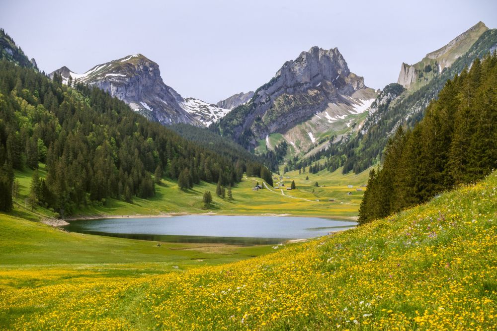
This beautiful hike leads past 2 stunning Alpstein lakes - Sämtisersee and Fählensee. It then climbs up to Alp Sigel with glorious panoramic views at the top of Zahme Gocht pass.
An easy and beautiful ridge hike up to Kronberg with stunning views of the Alpstein, the north side of Saentis and across Appenzellerland - with plenty of restaurants on the way.
This is a glorious short and easy walk up to Kaienspitz from Heiden in Appenzellerland. There are great views of Alpstein and Lake Constance and plenty of opportunities for refreshments on the way.
This hike up Fähnerenspitz in Appenzellerland offers fantastic views across the Alpstein massif and down into the Rhine valley. There are beautiful meadows, pretty flowers and of course, Swiss cows - and all for very little effort.
This stunning hike winds its way through the heart of the beautiful Alpstein alpine area. It leads past the Alp Sigel huts, across two wonderful passes and along an impressive ridge. And you can buy milk on the way!