Grütschalp – Bietschenalp -Mürren – Lauterbrunnen

One of THE most stunning hikes on this website? Possibly!
This stunning hike takes you above the Lauterbrunnen valley with incredible views of the Jungfrau, Mönch and the Eiger to Mürren. It then returns along the valley where you will be astounded by some amazing waterfalls.
This hike starts from Grütschalp, Lauterbrunnen and ends at Lauterbrunnen (Berner Oberland, central Switzerland).
Tags: Public transport, Mountain transport, Suitable for families, Food en-route, Accommodation en-route, Cute villages, Ice-cream at end of hike, Can be shortened
Rating: ![]()
Hiked by us on: 21st July 2019
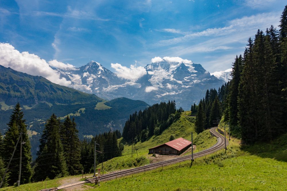
This stunning hike combines panoramic views, cute villages and a beautiful river walk along the Lauterbrunnen valley. The views of the iconic Eiger, Mönch and Jungfrau can be enjoyed while walking along the panoramic high path and on the way back, there are plenty of waterfalls to marvel at.
Take the gondola from Lauterbrunnen up to Grütschalp to start the hike. You can also walk up from Lauterbrunnen, but the path is rather steep and mainly through the woods, so there is not much of a view.
From Grütschalp station, follow the wide path towards Mürren for a few hundred meters, before turning right into a smaller trail. Now the path goes uphill, starting on the few height meters that you will have to do on this hike.
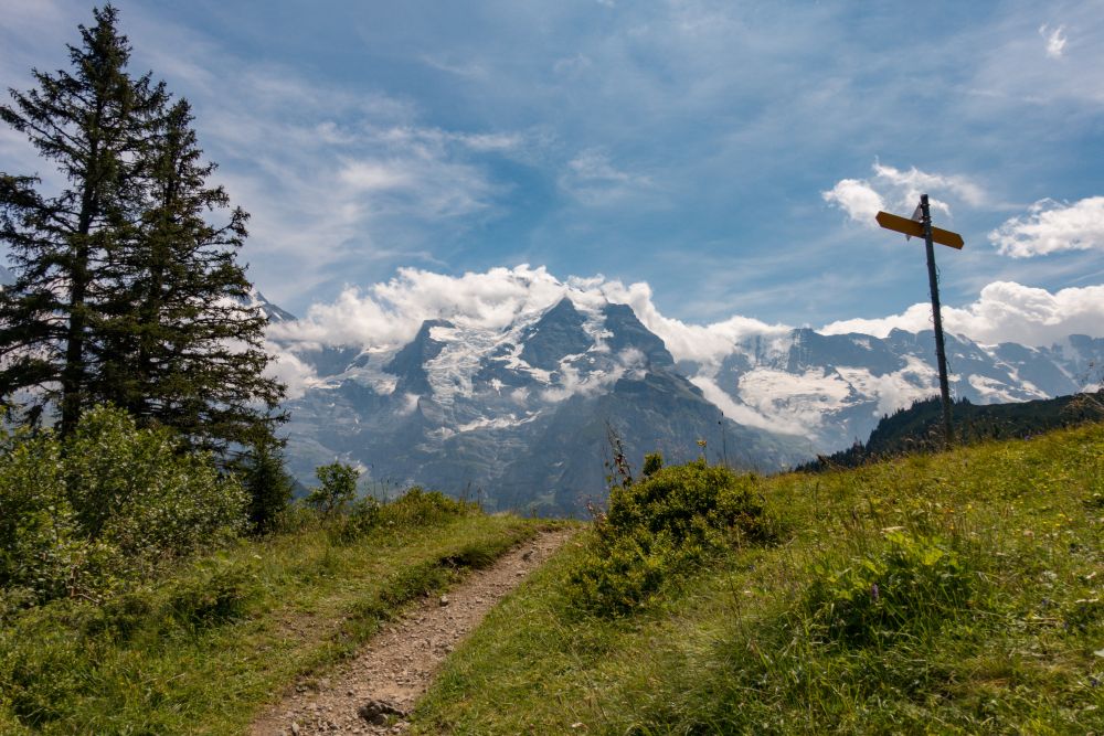
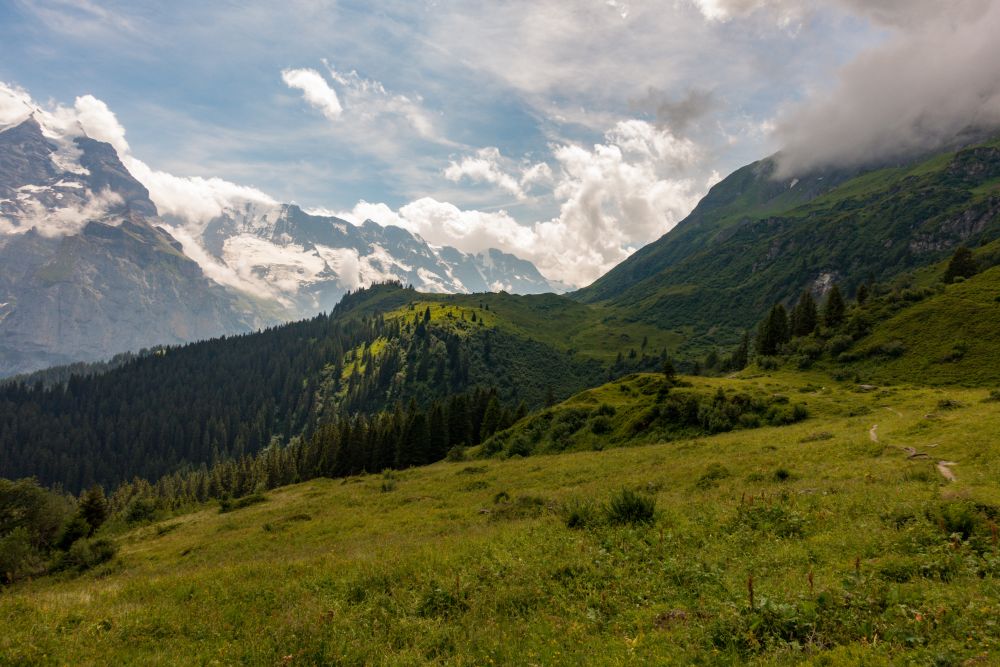
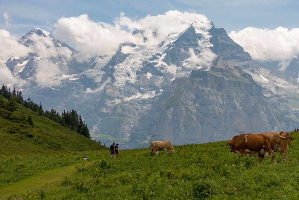
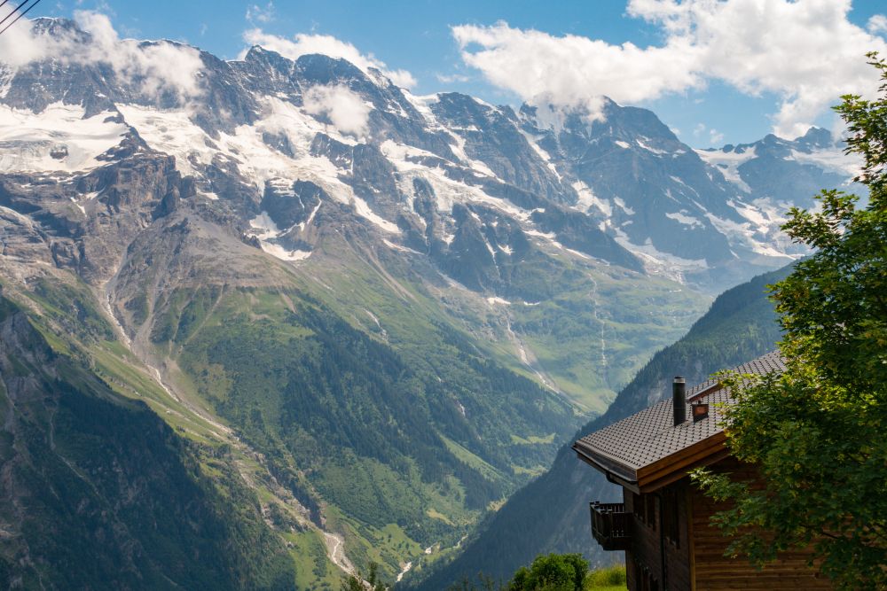
Once reaching the top of the slope, you will have a great view of one of the most stunning panoramas of the Alps, with mountains reaching over 4000m and some impressive glaciers along their slopes.
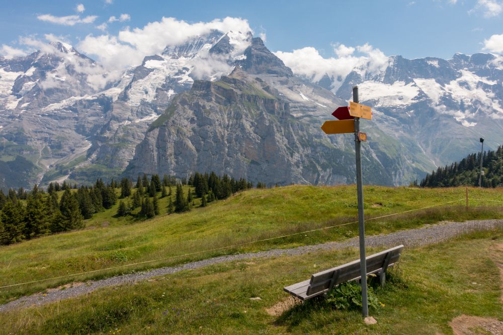
On the other side of the hill you will see the path going along quite evenly, giving you a chance to really enjoy the great views.

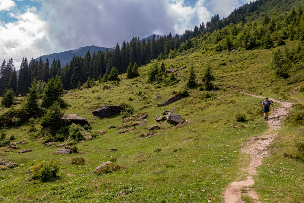
The path continues easily along the top, with only slight ups and downs. While enjoying the views, pass through meadows and herds of cows and walk past a couple streams. There are also several benches along the path to allow for a comfortable rest.
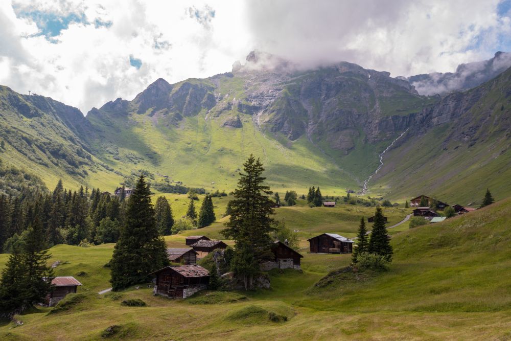
Once reaching a valley with a beautiful set of wooden huts, the path with start leading downhill. Pass around the Allmendhubel gondola station and start making your way into Mürren, which is a very pretty little village.
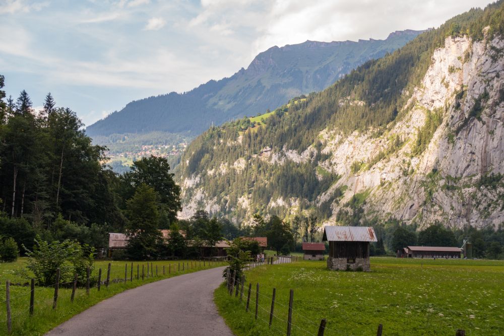
Past Mürren, the hike keeps leading downhill for quite a while to lead back into Lauterbrunnen valley. On the way you will pass through some cute villages and past lovely wooden huts until finally crossing the Sefinen Lütschine.
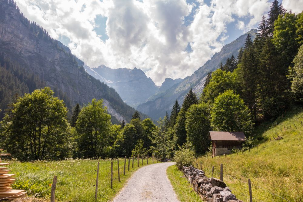
Follow the path along the Lütschine, going down the last remaining height meters, until you reach the Sefinenfall. Shortly after the waterfall, the hike crosses back onto the other side of the river and now leads back towards Lauterbrunnen.
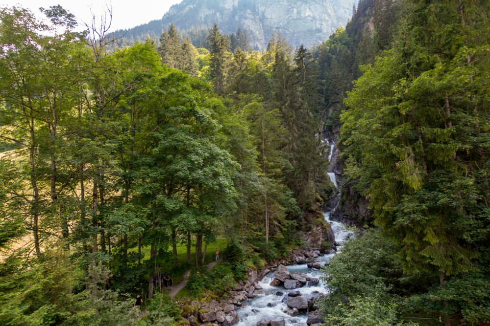

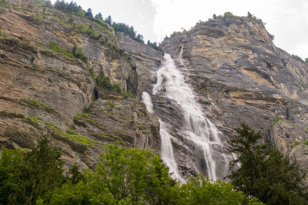
The path along the valley is very easy and allows for a relaxed stroll. There are several waterfalls along the way, some quite impressive. The hike ends back in Lauterbrunnen, which is a very beautiful village and is guaranteed to have an ice cream shop.
Food, accommodation and/or villages we found on this hike
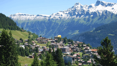
Mürren
(Town)
A beautiful car-free village on a rocky balcony above the valley of Lauterbrunnen. Oh, and there are incredible views of the Jungrfrau and surrounding mountains.
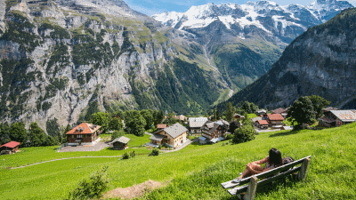
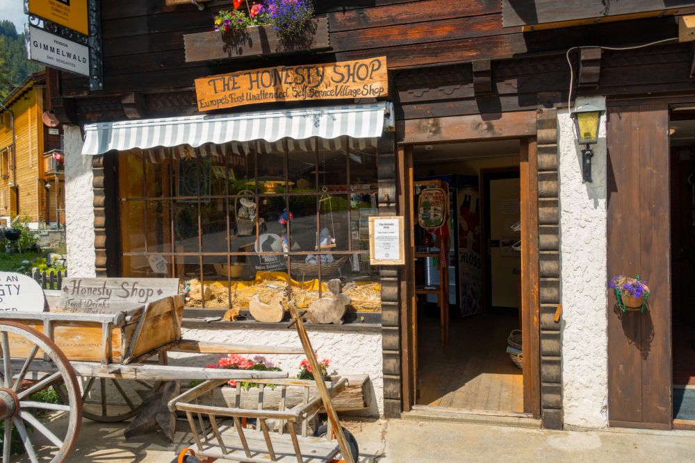
Gimmelwald
(Town)
A charming, charming hamlet just down from Muerren - and equally stunning and beautiful. It offers a handful of places to stay and eat.
The 5 day forecast in Lauterbrunnen
Webcams
We could not find any webcams in the area close to this hike.
Need some hiking down-time?
If you need a day off from hiking, below are some of the great things you can do within 30 km from the start of this hike.
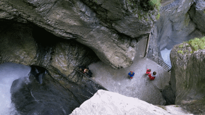
Truemmelbach Waterfalls
(3.5 km away)
With its ten glacier waterfalls inside the mountain, accessible through a tunnel lift, the Trümmelbach Falls are unique in Europe.
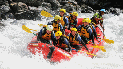
Outdoor Interlaken
(9.7 km away)
Choose from a variety of actvities including rafting, canyoning, climbing, paragliding and much much more!
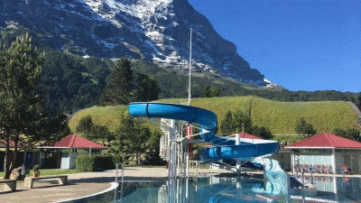
Grindelwald outdoor pool
(10.7 km away)
Glorious outdoor pool with views of the Eiger. Watch out for the chickens who patrol the grassy areas in the afternoon!
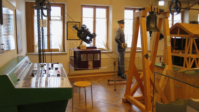
Grindelwald Museum
(12.3 km away)
Learn about the history of Grindelwald in this charming museum. Perfect for rainy days!
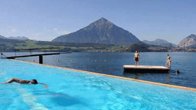
Strandbad Merligen
(16.2 km away)
In many regional and national media, the Strandbad Merligen was one of the most beautiful spas in Switzerland. The fantastic view of the Niesen and the Stockhorn in the background and Lake Thun in the foreground attracts guests from near and far.
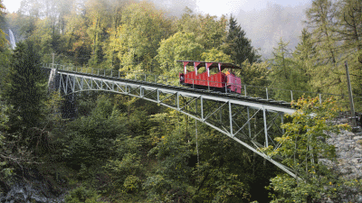
Reichenbachfall Railway
(25.8 km away)
The roaring waters of the Reichenbach Falls showed the bold engineers the way when they laid the rails for the works cable car in 1899. Eye to eye with the wild brook and the mighty, 120-meter-high Reichenbach Falls, the Nostalgiebahn with its faithfully reconstructed 24-lumber wooden car goes up in the air.
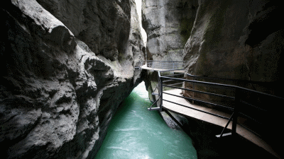
Aare Gorge
(27.9 km away)
The Haslital, one of the large valleys in the central alps, stretches from the Grimsel Pass to the Lake of Brienz. The flat valley floor of the lower Haslital is separated from the upper valley by a transverse rock formation. Over thousands of years, the Aare River eroded a path through this rock formation resulting in a gorge which is 1’400 metres long and up to 200 metres deep.
Rate this hike
Have you down this hike? What did you think? Please leave us a rating!
Thanks for your rating!
Leave us a comment - thanks!
2 Comments
Interested in this hike?
Please feel free to contact us for more information.
Just looking through some of your hikes, this one looks wonderful. Do you know if it gets really busy?
Re planning our Swiss trip for late spring early summer next year due to the whole virus situation. Thank you so much for posting your hikes, keeps us motivated & excited for travel to your beautiful part of the world. If you know of any walks with amazing views that might happen to slip under people’s radar I would love your advice.
Hello Tony – thanks for contacting us.
We did that walk in July last year – in the peak season and it was not too busy. A lot of people simply walk the lower path which stays closer to the railway line, but we strongly recommend to take the higher path as described on our website. For sure, there are people on the path, but it was never so bad it annoyed us. Definitely take the gondola up from Lauterbrunnen to Grütschalp – you can walk it, but it is very steep with very few views. We also recommend to walk down from Mürren via Gimmelwald to the valley floor. You can get a gondola down, but its a lovely, interesting walk down. You can then also walk along the valley floor back to Lauterbrunnen, or take a bus. It’s a long day if you walk back, but also lovely.
There are numerous hikes in the area, but another “classic” is from First to Schynige Platte. Its a bit of a fiddle faddle with the transport (but of course no problem with the Swiss transport system – or make it into a 2 day hike and stay overnight in one of the huts. This is a seriously stunning hike!! This one can get busy, so maybe avoid the weekend. https://stunninghikes.com/centralswitzerland/berneroberland/first-faulhorn2681m-schynigeplatte-burglaunen/
We live in east Switzerland, so dont know of any hidden gems around Interlaken – but to be honest, it is so beautiful there it is difficult to find a “bad” hike.
Hope your trip plans out as you want it to when we are in “happier” times!
Elke and Alastair