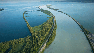
Schwende – Alp Sigel – Widderalpsattel – Wasserauen

A glorious hike in the heart of Alpstein
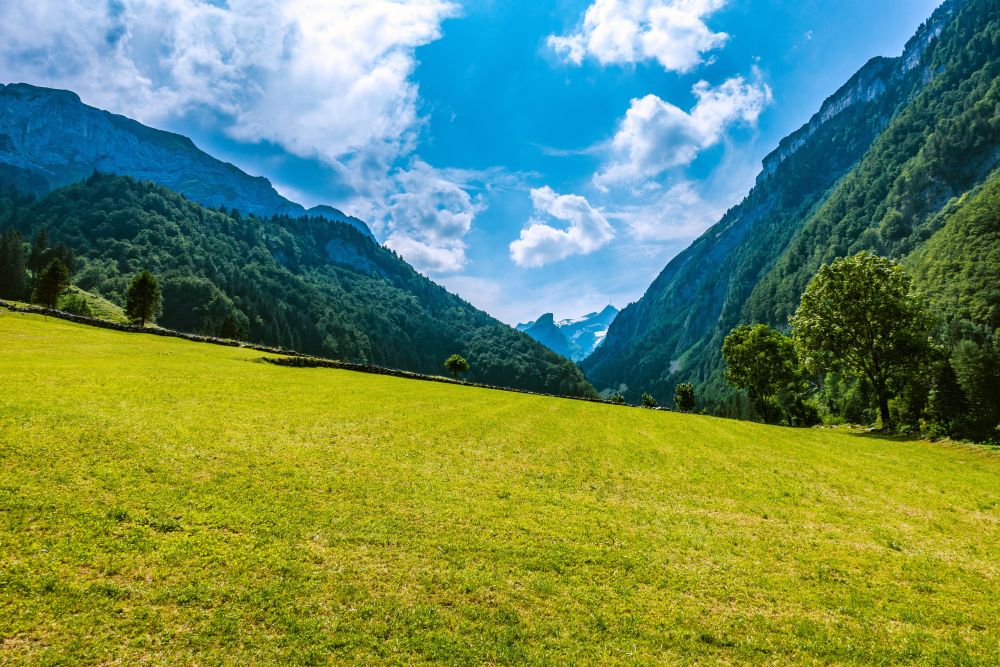
This stunning hike winds its way through the heart of the beautiful Alpstein alpine area. It leads past the Alp Sigel huts, across two wonderful passes and along an impressive ridge. And you can buy milk on the way!
This hike starts from Schwende, Station, Schwende District and ends at Wasserauen, Station, Schwende District (Appenzellerland, north-east Switzerland).
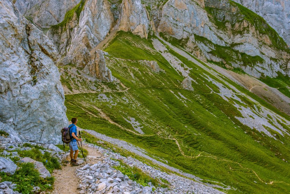
Top tip! There is one tricky section in this hike - a narrow sloping path where it is really best not to slip. Take care and really do not try this hike if it is wet.
Tags: Public transport, Food en-route, Accommodation en-route, Views of mountain lakes, Ice-cream at end of hike
Rating: ![]()
Hiked by us on: 26th July 2019
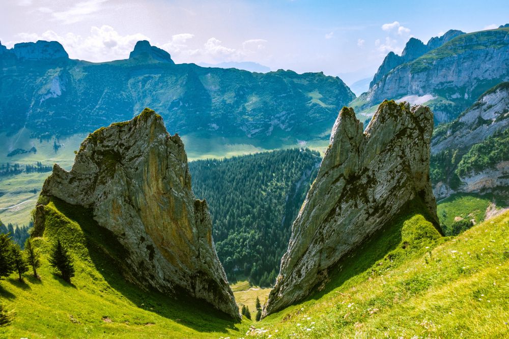
This walk past Alp Sigel and Widderalpsattel is a little long but it is in the heart of Alpstein, one of the most beautiful places in the Alps, so it is well worth every step and every height meter. The views a truly incredible and there is a rather exposed section on this hike. So if you don’t have a head for heights, you might like to choose the alternative route also described below.
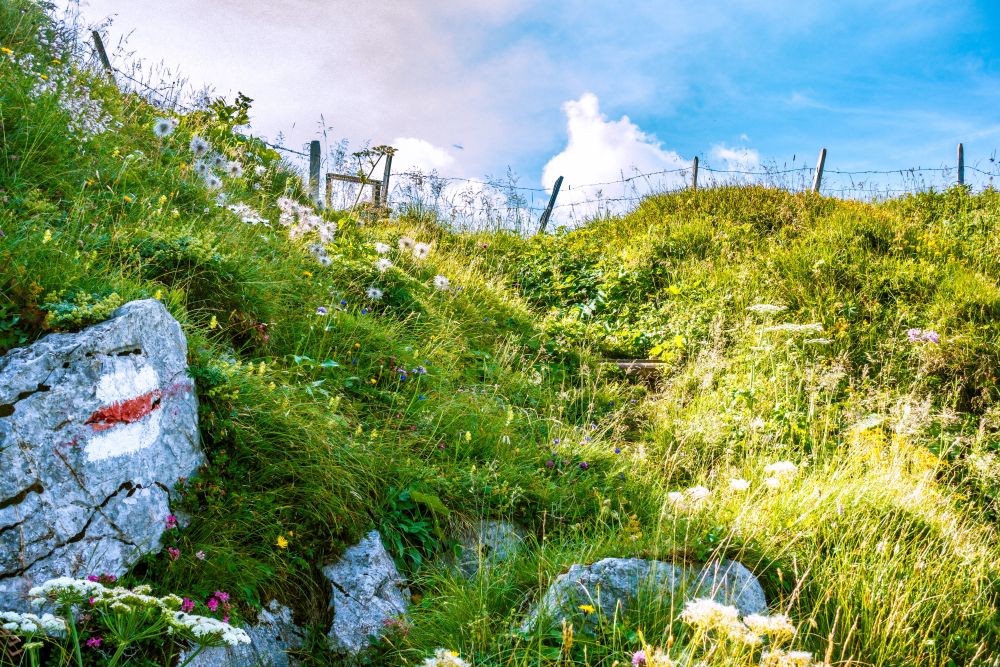
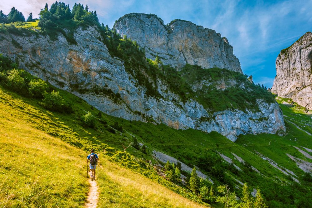
Start in Schwende, where there is a bus stop, train station and parking. Make your way past Gasthof “Frohe Aussicht”, up to the small road and turn off the road again after a few meters towards Alp Sigel.
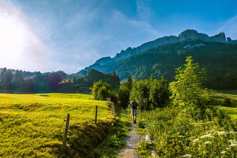
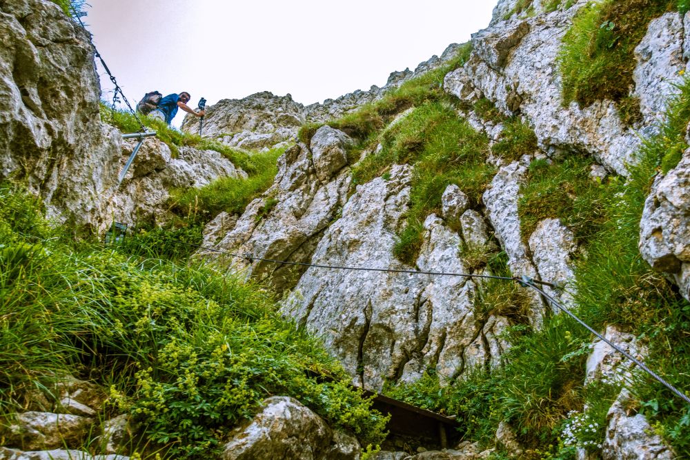
The path will be getting steeper all the time. See that wall of rocks above you? Yes, that’s were the path is leading. Once you reach the woods, the path gets a bit more shallow, until you leave the trees again. There is a cute wooden hut with some benches and then it’s upwards again. Another steep slope to walk up until you reach the rocks and now it’s up some steep steps. There are ropes along here to keep you safe. And then finally it’s only a few more steps until you step into a lovely meadow on the top.
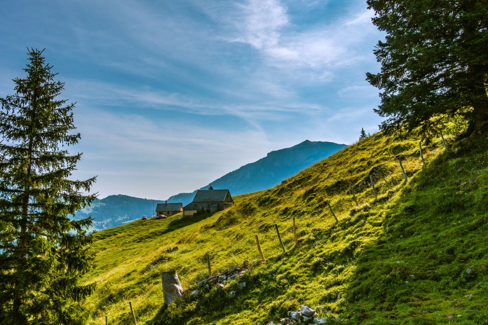
There are lovely views of Alpstein and Hoher Kasten from up here, it’s just as well as you may feel like sitting down and having a rest up here after that steep uphill. Once you are ready to move on, make your way down to the huts at Alp Sigel. Walk through the beautiful huts until you reach the sign post at the end.
This is where you have a choice. If you do not have a head for heights, turn left here and make your way down to Kalthütte. Once you reach the hut, turn right and make your way up the valley. At a junction, chose the middle path, continuing up the valley to the right. Now the path leads upwards past Alphütte Widderalp to the Widderalpsattel. Here you get back onto the original route of this hike. This way will mean you have to do about 300 additional height meters, but it will be less scary.
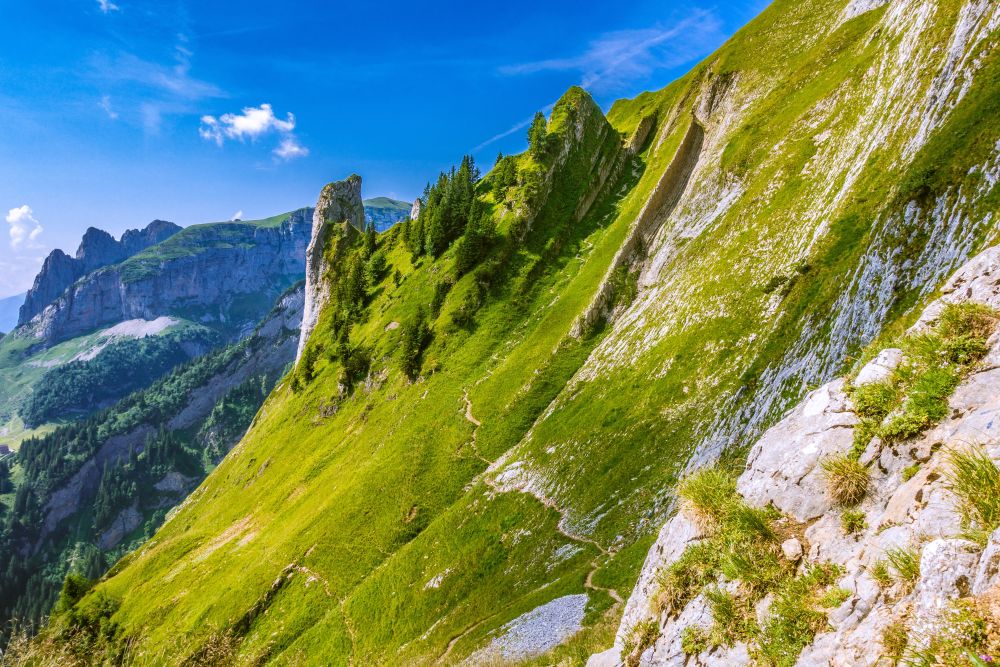
If you are sure footed and have a head for heights, take the right turn and walk along the stunning mountain slope above Sämtisersee. The path is very gentle along here, giving you plenty of opportunity to enjoy the incredible views.
After a while the path turns right, moving the other side of the ridge so you get to enjoy even more views. It then turns slightly uphill towards Bogartenlücke, a quite impressive pass.
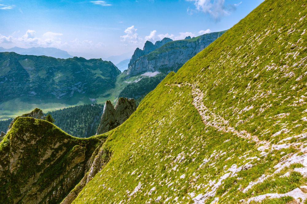
Once you get up to the path look right, you will see a path there that leads very steeply uphill in lots and lots of little turns. But don’t be scared, it is not as steep as it looks.
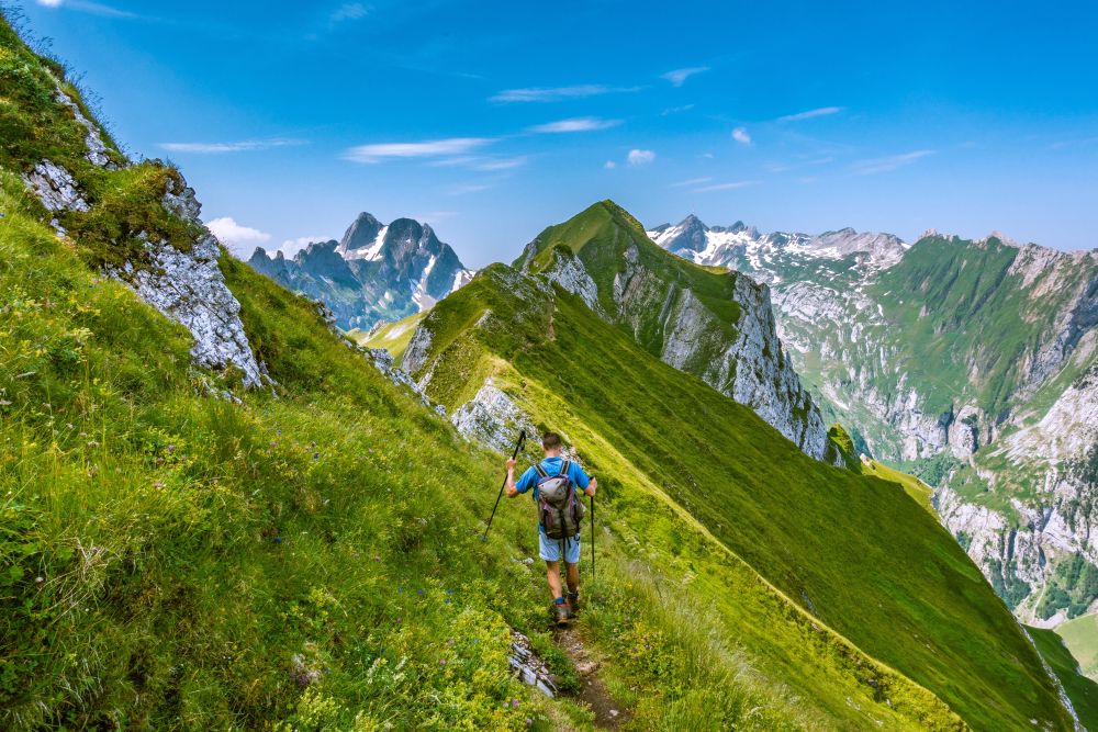
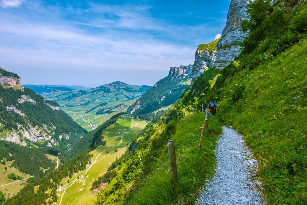
Once you’ve made it up the steep turns, the path becomes a bit more exposed. It turns right and gets rather narrow and tilted above a steep grassy slope, watch your steps here. Once you have reached the ridge, there is a rather steep slope on either side of the path. However, the ridge is wide enough to feel safe and very soon you are on the top of Schafberg.
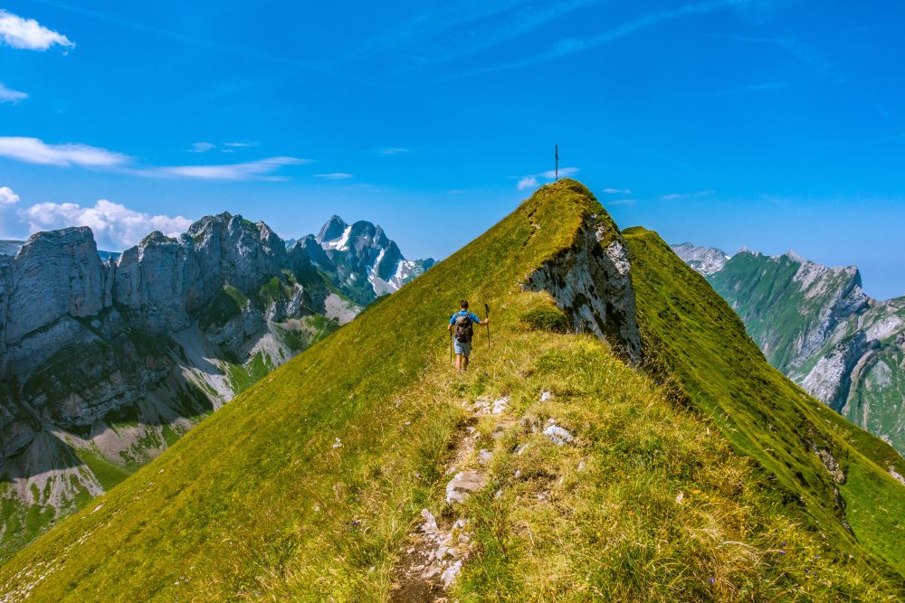
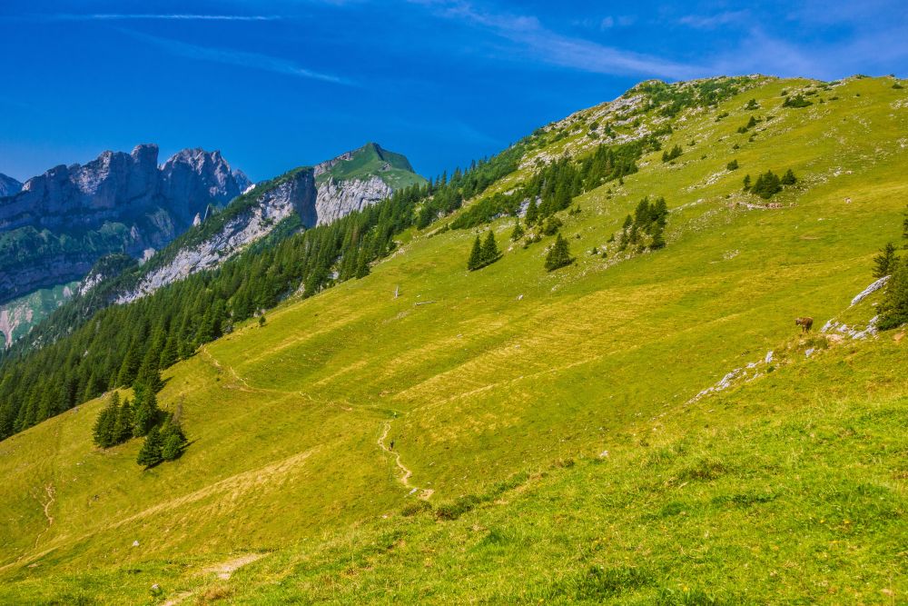
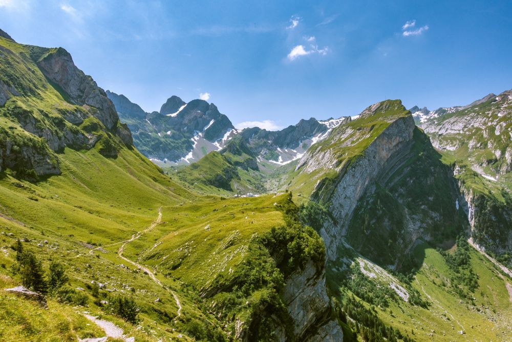
Schafberg is a quiet peak but it feels like it’s right at the center of this beautiful area with the Alpstein all around you! From the top, continue along the ridge. The path may feel exposed in places along here but is generally not too scary. At the end of the ridge the path leads down towards Widderalpsattel pass. The grassy slopes above the pass are great for a lunch break as you will again have lovely views up here.
At the pass there is a path leading around the valley towards Meglisalp, which you could take if you would like to extend the hike. However, for this walk make your way directly down to the huts in the valley below. At the huts the path leads right and then winds down a steeper, flower strewn slope.
Towards the end of the slope you will see Meglisalp on your left. If you have never been there, it’s worth turning left on the path at the bottom of the slope and paying a short visit to this village. Otherwise, turn right an continue on the path high above Seealpsee.
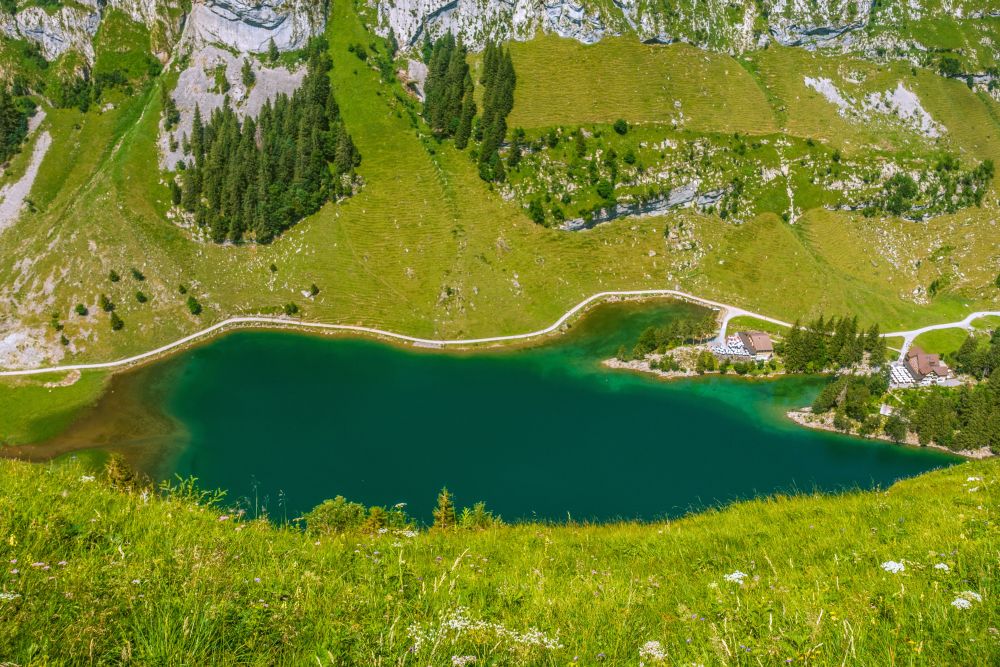
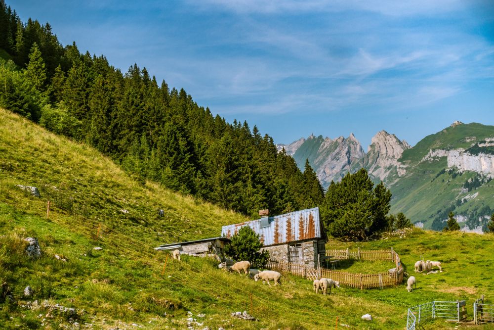
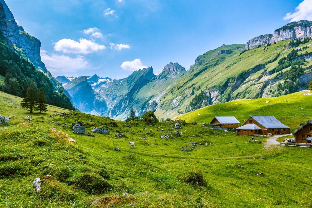
Follow the path above the lake, which leads all the way to the end of the valley. After a while you will pass a little emergency hut and then the path starts winding down until you reach Gross-Hütten, which translates to “big huts”, a selection of wooden huts. Here you can buy some fresh milk and cheese during the summer.
Continue past the huts and another set of huts called Klein-Hütten and then the path leads steeply down into Wasserauen. From Wasserauen the train will take you back to Schwende.
Food, accommodation and/or villages we found on this hike
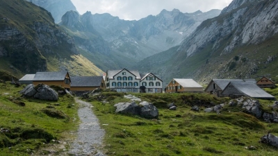
Berggasthaus Meglisalp
(Food and accommodation)
Treat yourself to a break with us. We are your hosts in the legendary Sennendörflein Meglisalp. The Meglisalp at 1520 meters above sea level is embedded in the beautiful mountains of the Alpstein. Leave the hustle and bustle in the valley and listen to nature. Here you will experience contemplative moments during the mountain services, but also cozy hours with music and dancing.
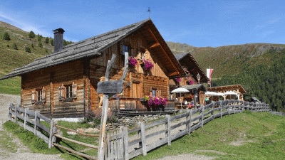
Alp Sigel
(Food and accommodation)
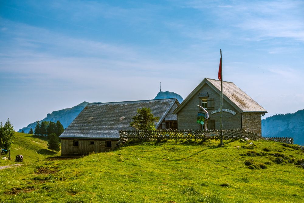
During the alpine season from the beginning of June to the end of August, our home is the "Hasenplatten" on the Alp Sigel.
The 5 day forecast in Appenzell
Webcams
We could not find any webcams in the area close to this hike.
Need some hiking down-time?
If you need a day off from hiking, below are some of the great things you can do within 30 km from the start of this hike.
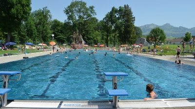
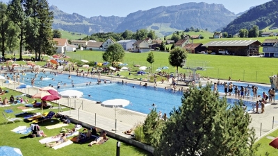
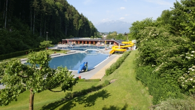
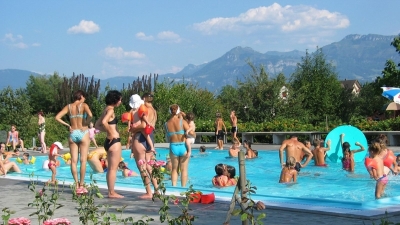
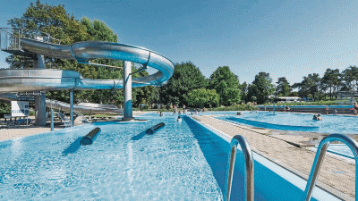
Appenzell outdoor pool
(3.2 km away)
Great outdoor pool in the shadow of the Alpstein mountain range
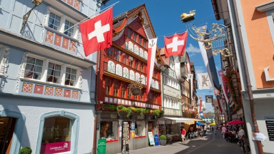
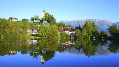
Appenzell town
(3.9 km away)
Wonderful historic picturesque town at the foot of the Alpstein mountain range
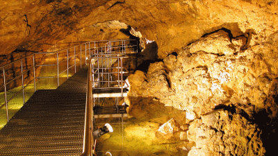
Kobelwald crystal caves
(7.7 km away)
Fascinating underground caves - worth a visit in any weather
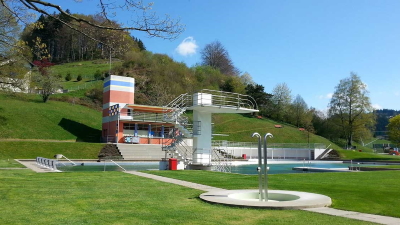
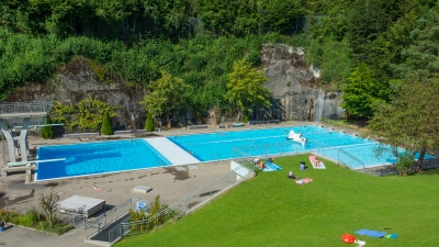
Gais outdoor pool
(7.8 km away)
Small quiet outdoor pool in Appenzellerland
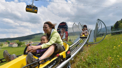
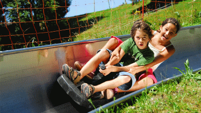
Kronberg Alpine park
(8.4 km away)
Alpine "park" with summer sledge run and rope park - fun for all!
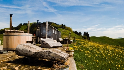
Hot-pot Appenzellerland
(9.5 km away)
Relax in a a unique hot-tub surrounded by Appenzeller hills and mountains
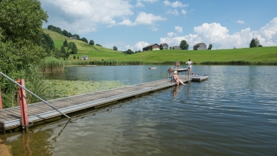
Badi Schönenbodensee, Wildhaus
(11.7 km away)
Beautiful small lake for swimming above Wildhaus below the Alpstein
Werdenberg
(14.8 km away)
800 years of history and the smallest city in Switzerland - beautifully preserved places to visit
Götzis outdoor pool
(16.8 km away)
Beautiful area for enjoying the sun and a relaxing swim
Heiden Schwimmbad
(17.4 km away)
A lovely outdoor pool with large grassy areas on which to relax.
Berneck outdoor pool
(19.1 km away)
Wonderful, quiet outdoor pool with lots of grassy areas. Perfect place to relax
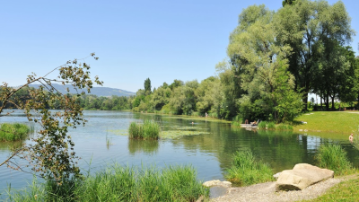
Badestrand am Rohr
(20.0 km away)
Relax and swim in the lake which is the old Rhine
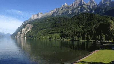
Walenstadt lakeside beach
(21.8 km away)
Large grassy swimming area with wonderful views of the surrounding mountains
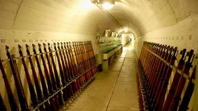
Festungsmuseum Heldsberg
(22.1 km away)
Look back into Switzerland's second world war history in this perfectly preseved fort built into the hillside
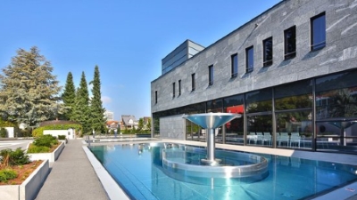
St Margarethen mineral baths
(22.3 km away)
Recently fully refurbished wellness center - spend an afternoon to recover
Rhein railway
(23.4 km away)
Travel on the Rhein railway to the delta of the river
Laterns summer sledge run
(23.5 km away)
Sledging in the summer on the Laterns Sommerrodelbahn
Bischofszell outdoor pool
(25.9 km away)
Relax in this lovely pool in the historic town of Bischofszell.
Lichtensteig outdoor pool
(26.3 km away)
Wonderful relaxing pool in the Toggenburg region

Rolls Royce museum
(27.6 km away)
Fascinating museum of the world's most famous car.
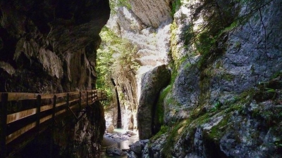
Rappenlochsclucht
(27.6 km away)
Impressive stroll on elevated walkways through narrow gorge
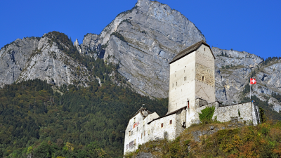
Sargans castle
(27.9 km away)
900 year old castle full of history (and a restaurant)
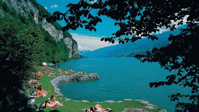
Lago Mio
(29.8 km away)
Lovely little swimming area on the banks of the Walensee close to Weesen
Rate this hike
Have you down this hike? What did you think? Please leave us a rating!
Thanks for your rating!
Leave us a comment - thanks!
Interested in this hike?
Please feel free to contact us for more information.