
Ftan (Bergstation Prui) – Alp Laret – Alp Valmala – Ardez – Bos-Cha – Guarda Station

An easy hike, mostly downhill in the stunning Unterengadin
This hike traverses along the Unterengadin valley nad the side valley of Val Tuio. As with all hikes in this area it is truly beautiful - and mostly downhill!
This hike starts from Bergrestaurant Prümaran Prui, Prui, Scuol and ends at Guarda, Staziun, Scuol (Graubünden, south-east Switzerland).
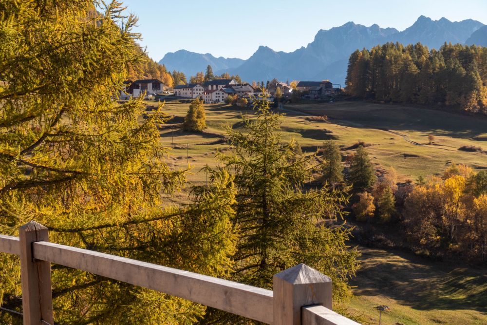
Top tip! If you can, wait until the larch trees have turned orange.
Tags: Public transport, Mountain transport, Suitable for families, Food en-route, Accommodation en-route, Cute villages
Rating: ![]()
Hiked by us on: 24th October 2021
This walk from Ftan is quite easy and does not have a lot of height meters to go up. Get the timing right in autumn and you will see Unterengadin bathed in orange on this walk. Highly recommended for October! As an added bonus, it can easily be extended if you’re really enjoying yourself .
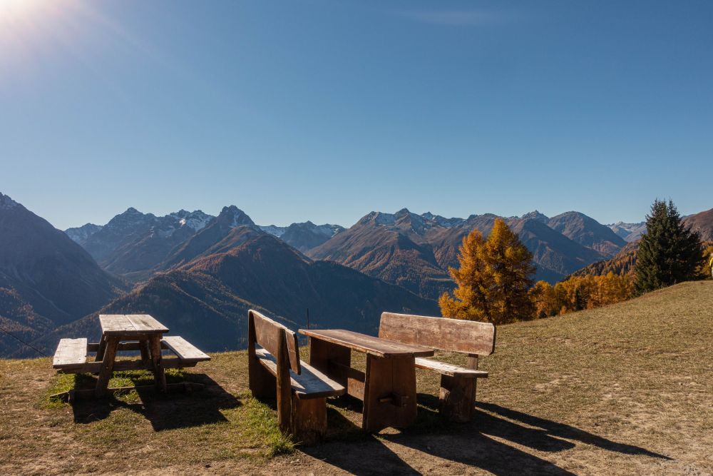
Start from the top station of the gondola in Ftan, where you find some convenient seating to get yourself ready and some wonderful views to start out with. If you’d rather walk up here, this is easily possible. There is a winding path all the way up from Ftan.
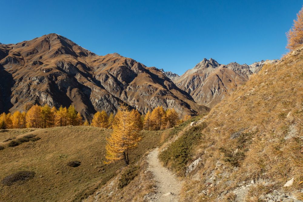
The hike starts out eastwards and for a few meters you can enjoy a wide and even path. After a few meters though, you need to turn off left and upwards. It’s a rather small path now, which winds it’s way through some meadows and trees and gets a bit steep in places. But you will be doing a lot of the height meters along here already.
After about 80Hm, you will get to a wider path again, turn left and at the next junction right again. The trail now leads upwards gently along the slope all the way to Alp Laret. It’s easy walking here and you can enjoy the wonderful views across the valley.
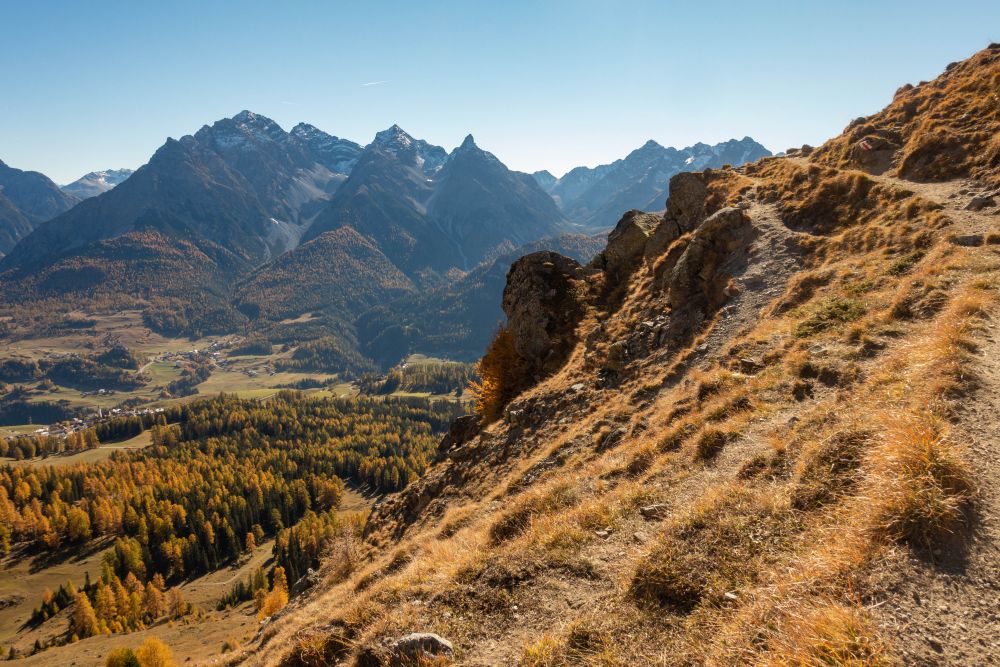
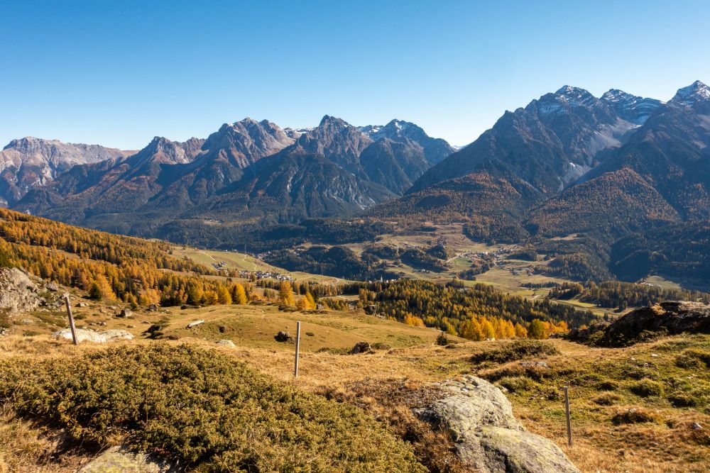
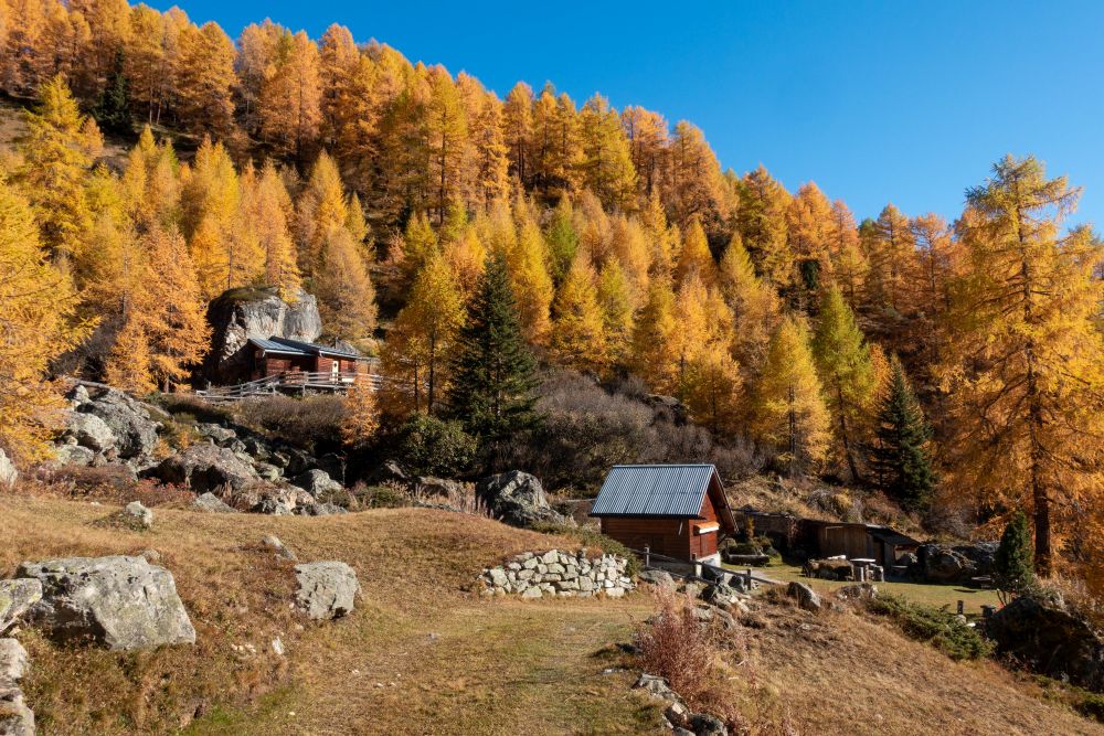
The Alp is a quiet farmhouse and you might have this path all to yourself if you are doing the hike in autumn. The walk now turns northeast and starts slowly going downhill into the valley. It’s again a single trail leading along the slope.
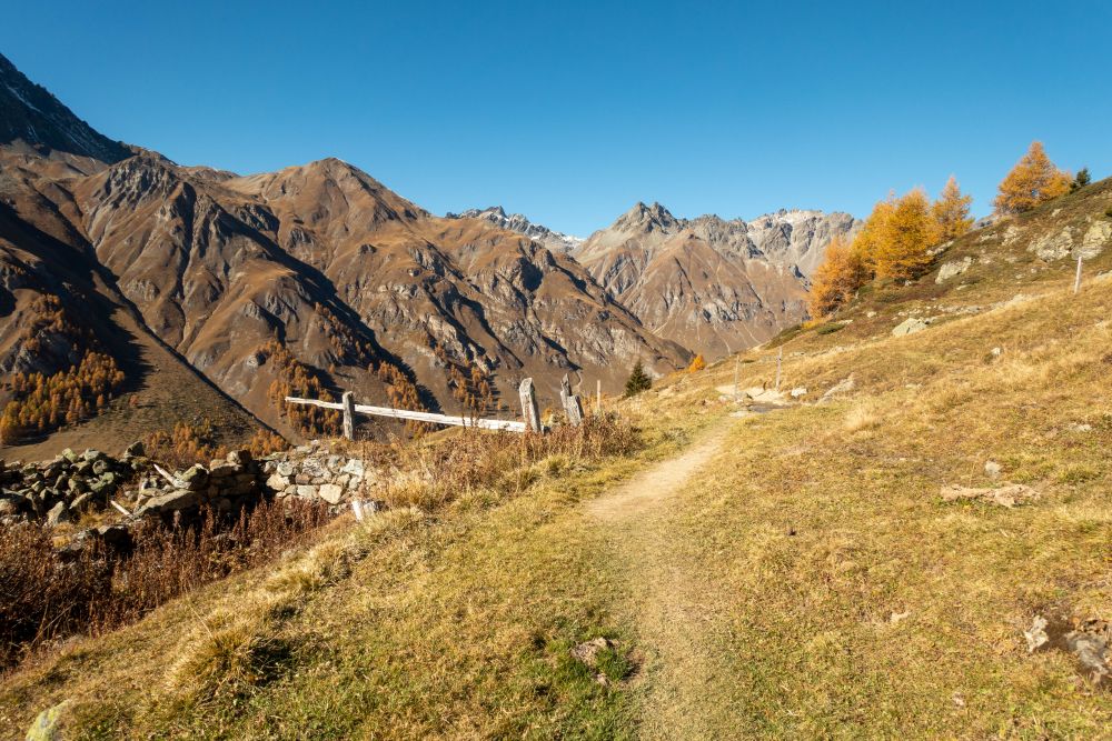
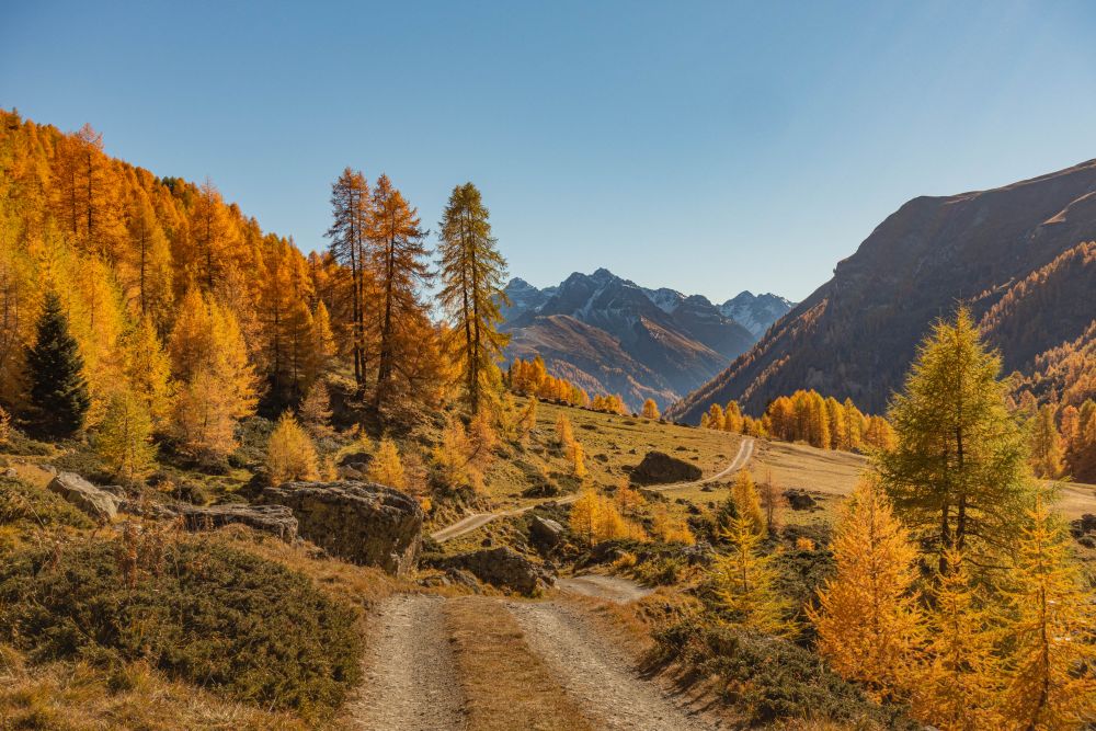
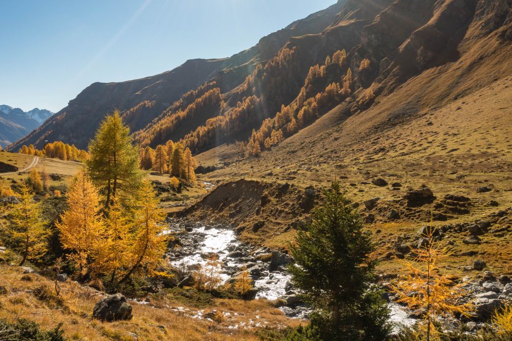
Keep following this path until you get to the bottom of the valley at Alp Valmala. You will see another small farmhouse here and meet a wider path again. Turn left and follow the dirt road down the valley on the west (left) side of the little stream. There are wonderful views of the stream, the mountains and the little huts dotted around the valley along the path.
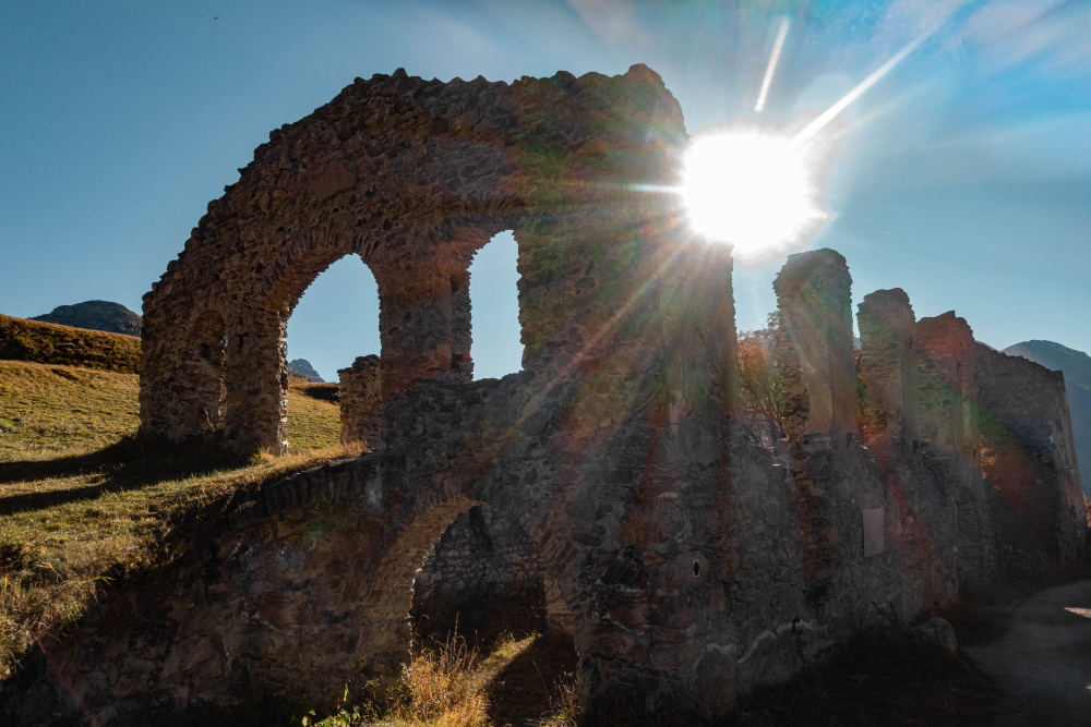
Keep walking down the path all the way to the road much further down the valley. It’s now to the right, towards Ardez. Unfortunately the walk leads along the road for about 300m but it’s a fairly quiet road. Once a path turns off on your right, take this path. It will soon bend to the right again and open up into the main valley. After a while you will pass the Ruina Chanoua on your left.
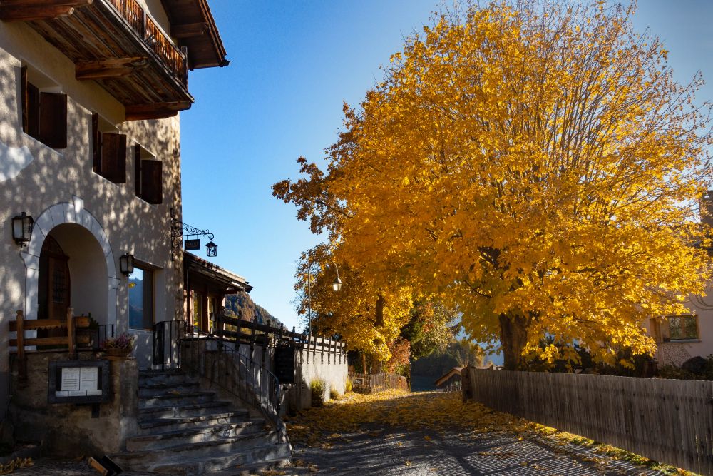
The path keeps leading gently downhill, until you get to a quiet road again. Here you could turn left and walk downhill into the beautiful village of Ardez, where you could end the hike and catch a train. However, for those who haven’t had enough yet of the stunning Unterengadin valley, you can keep walking straight along the road and continue down the valley. Turn left where a path comes off and walk gently downhill, until you get the the next wide path. Here turn right and follow it along the slopes above the valley. The next village you arrive at is Bos-cha. From there the path leads in a long turn towards Guarda.
In Guarda, this walk ends. Make your way through the village and at the last houses a path turns left and leads fairly steep downhill to the train station. It’s quite a way below the village, so leave enough time to catch the train.
However, if you still haven’t had enough of this walk, you could keep walking straight through the village in Guarda and continue this walk down the valley. All the way to Lavin if you wish.
We did not find any places for food or accomodation on this hike. Take your own supplies!
The 5 day forecast in Guarda
Webcams
We could not find any webcams in the area close to this hike.
Need some hiking down-time?
If you need a day off from hiking, below are some of the great things you can do within 30 km from the start of this hike.
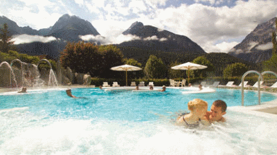
Bogn Engiadina
(3.9 km away)
The Bogn Engiadina wellness spa in Scuol is a haven of rest and relaxation in the heart of the majestic Lower Engadin Alpine region.
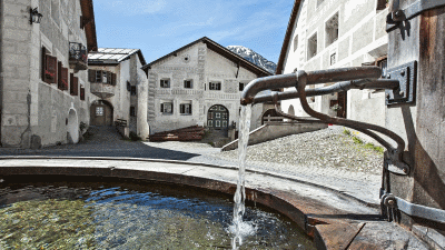
Guarda
(8.3 km away)
An amazingly beautiful Engadin village - well worth to wander around.
Rate this hike
Have you down this hike? What did you think? Please leave us a rating!
Thanks for your rating!
Leave us a comment - thanks!
Interested in this hike?
Please feel free to contact us for more information.