Mon – Stierva – Feil (2501m) – Ziteil – Mon

Hike along a scenic wide ridge to the pilgrimage church at Ziteil
This lovely hike leads through flowery meadows up to the amazing views from the Feil ridge and then to the highest church in east Switzerland at Ziteil.
This is a circular hike starting from Mon 7462 in Graubünden (south-east Switzerland).
Top tip! There are some wonderful alpine meadows to walk through on this hike - so if possible, make this hike in June or July.
Tags: Circular hike, Public transport, Cute villages, Ice-cream at end of hike
Rating: ![]()
Hiked by us on: 6th July 2019
This lovely hike leads through open, flowery meadows up to Feil and then below Piz Curver to the pilgrimage church Ziteil. There are some very cute huts to pass on the way and the views on Feil ridge are amazing.
Start in the little village of Mon and make your way to Stierva along a hiking path through the meadows. Just before the village, get back onto a quiet, paved road. Follow the road into the village and slightly uphill to a well. Turn left before the well.
Now the path starts leading uphill and past a few huts. The meadows are covered in flowers and there are great views across the valley to Piz Mitgel.
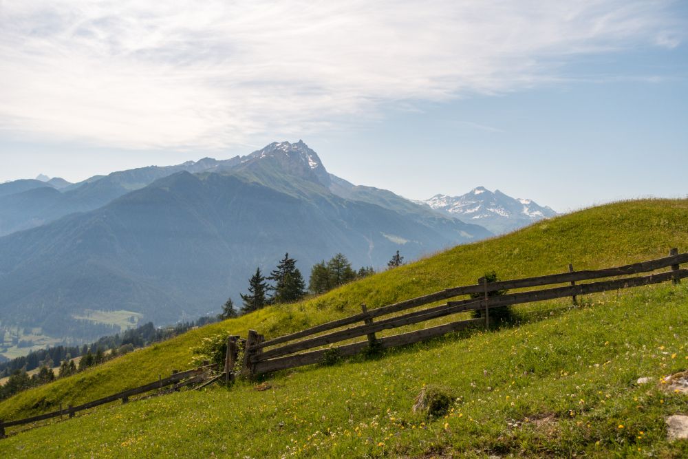
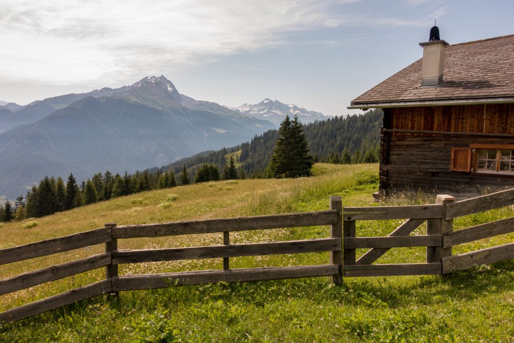
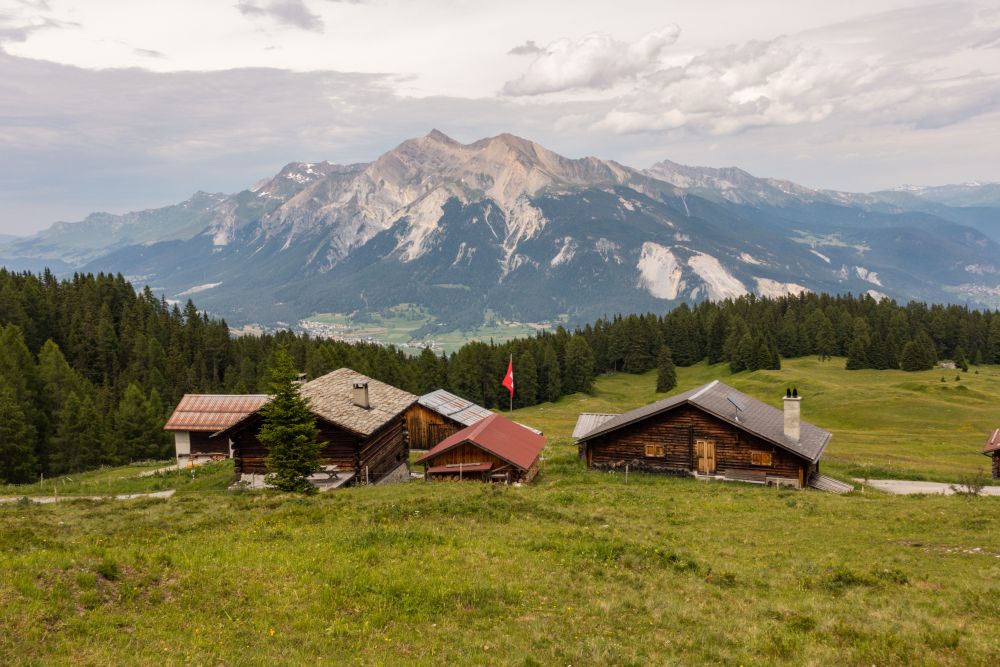
Past the huts, the path leads uphill through the woods for a bit and then turns right, back onto a quiet, paved road. There are more views across meadows while the road winds uphill. After a while you will pass the old wooden houses of Alp Viglia and soon after Alp da Gaglignas.
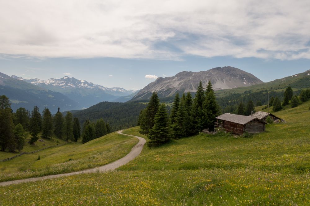
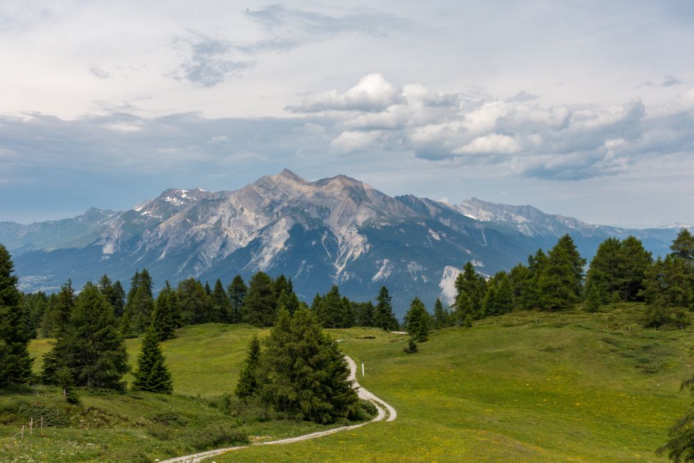
After the Alp, you will pass some very small lakes, fittingly called Lais. Soon after the lakes, the path leads uphill along the ridge, with views either side.
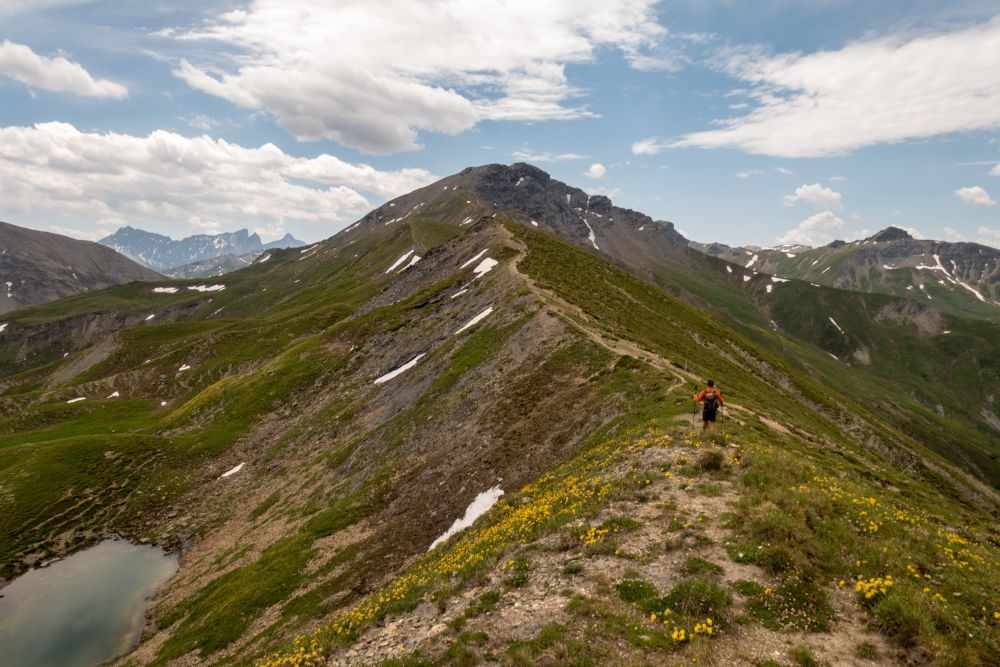
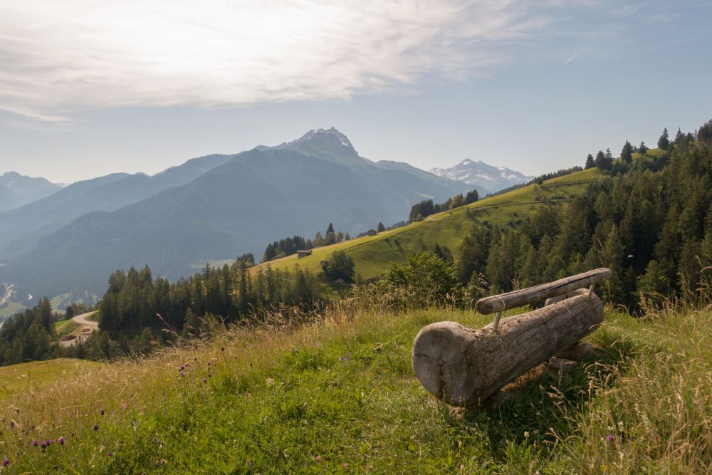
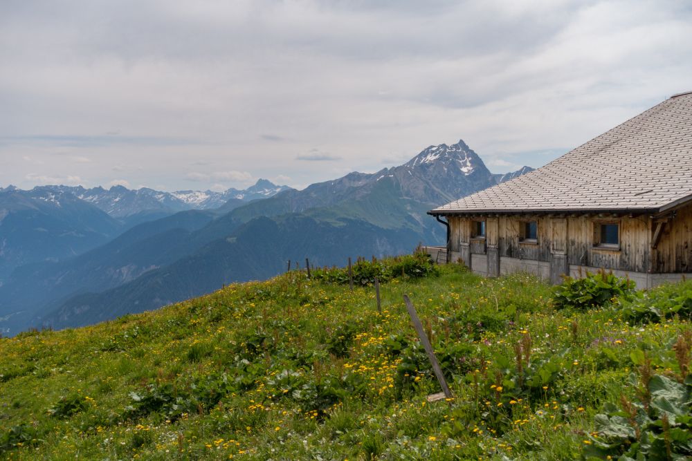
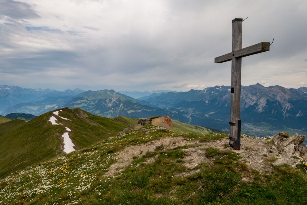
Enjoy the walk along the ridge, with a view of Piz Curver ahead and views of the valleys either side. Once you get to the cross on Feil, you have reached the highest point of the hike.
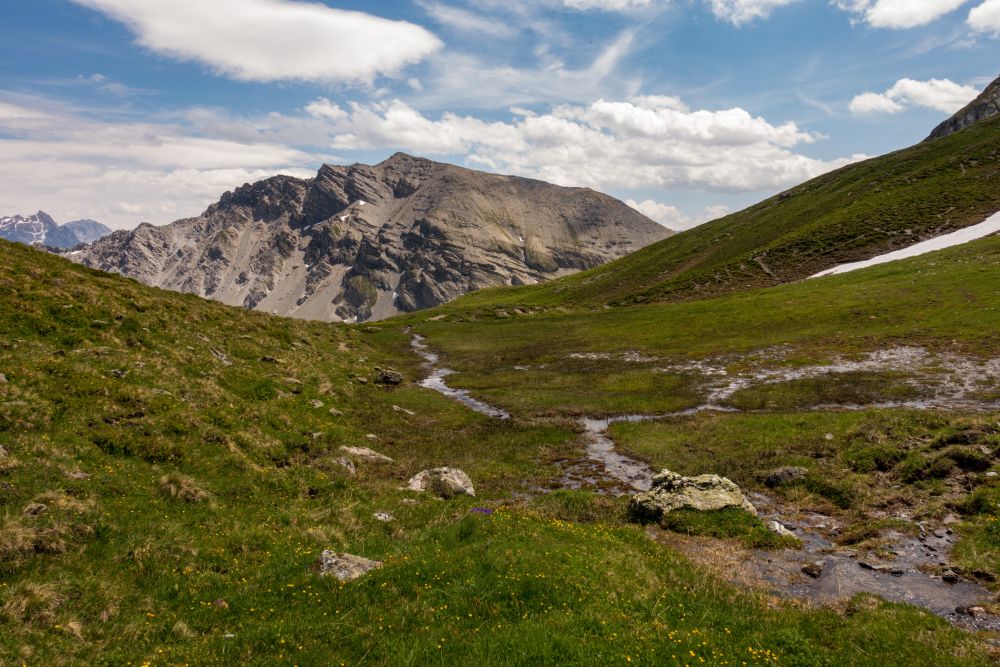
The path now leads gently downhill and along the slopes of Piz Curver. There are a few streams to cross and flowery meadows to pass. After a while you will reach a wooden cross in the meadows. Now the path turns right towards Ziteil.
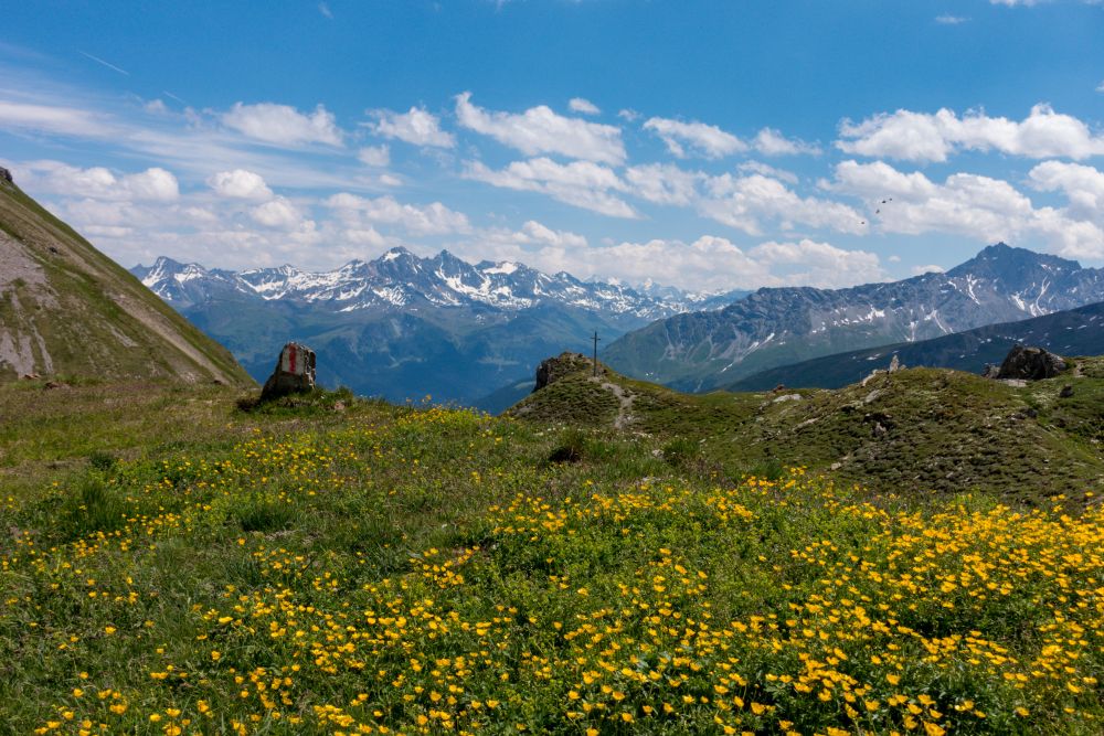
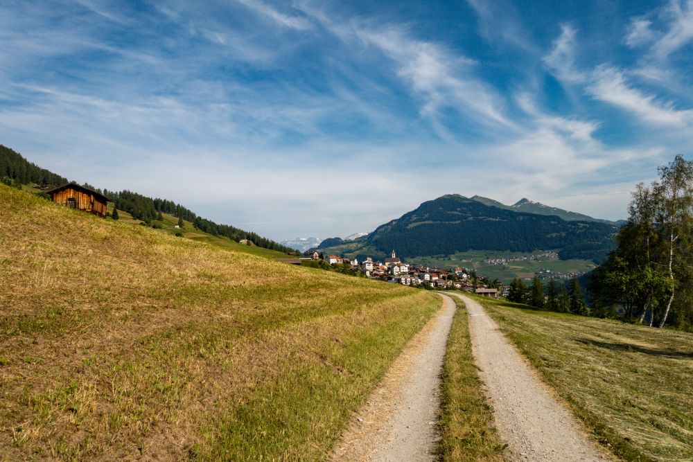
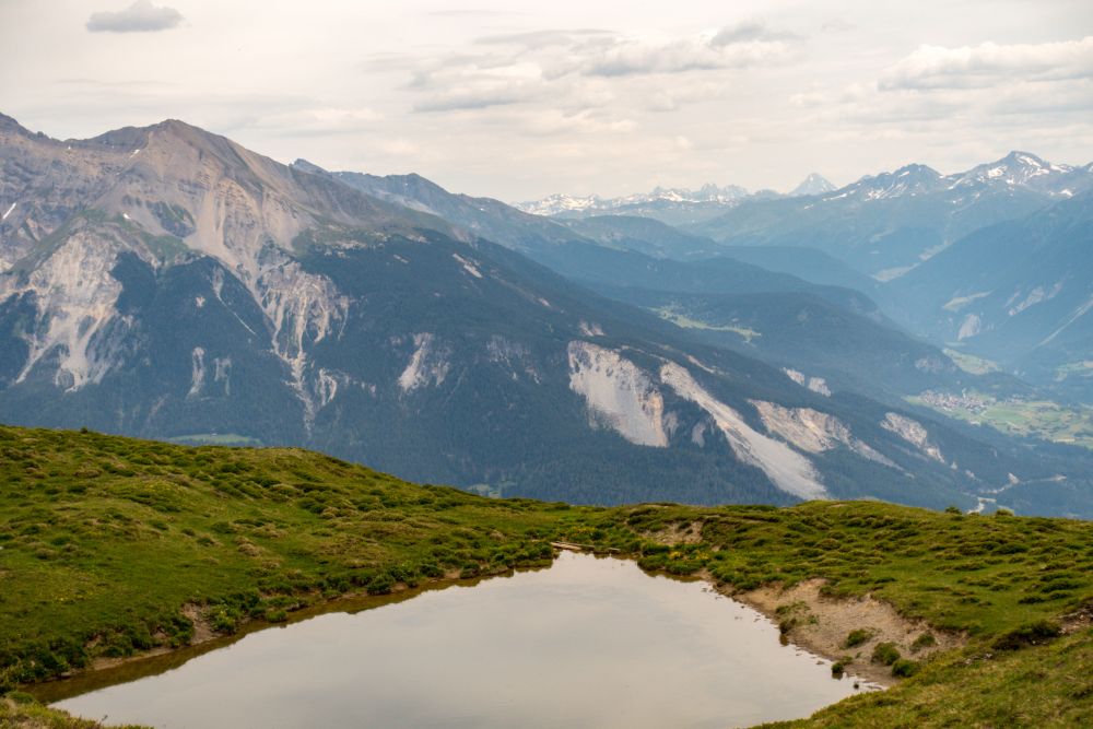
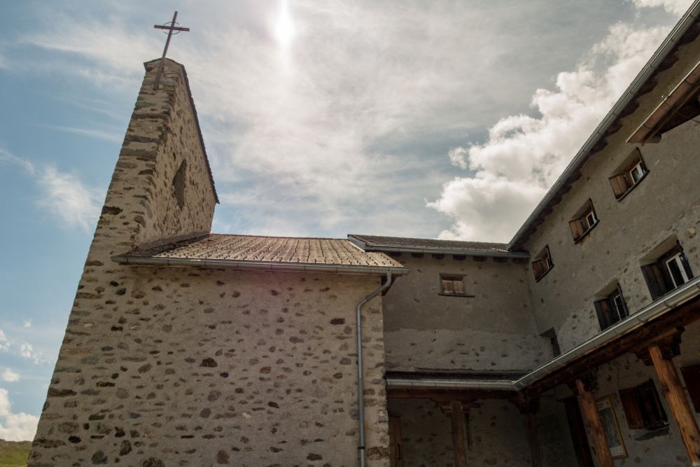
From here it’s not far to the pilgrimage church of Ziteil, which is the highest in eastern Switzerland. From the church, the path continues downhill on a gravel road to the left of Piz Toissa. There are more views of the Alps across flowery meadows, until you reach the small village of Munter.
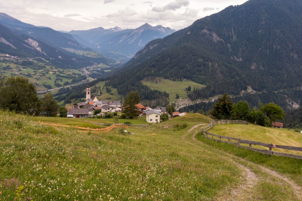
From Munter, the path leads into the woods and downhill along a stream. Once you reach a paved road again, cross it and turn right. It is now not long until you reach Mon. Take your time strolling through this beautiful village and have a look at the church, tucked away between the houses, before finishing the hike.
Food, accommodation and/or villages we found on this hike
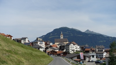
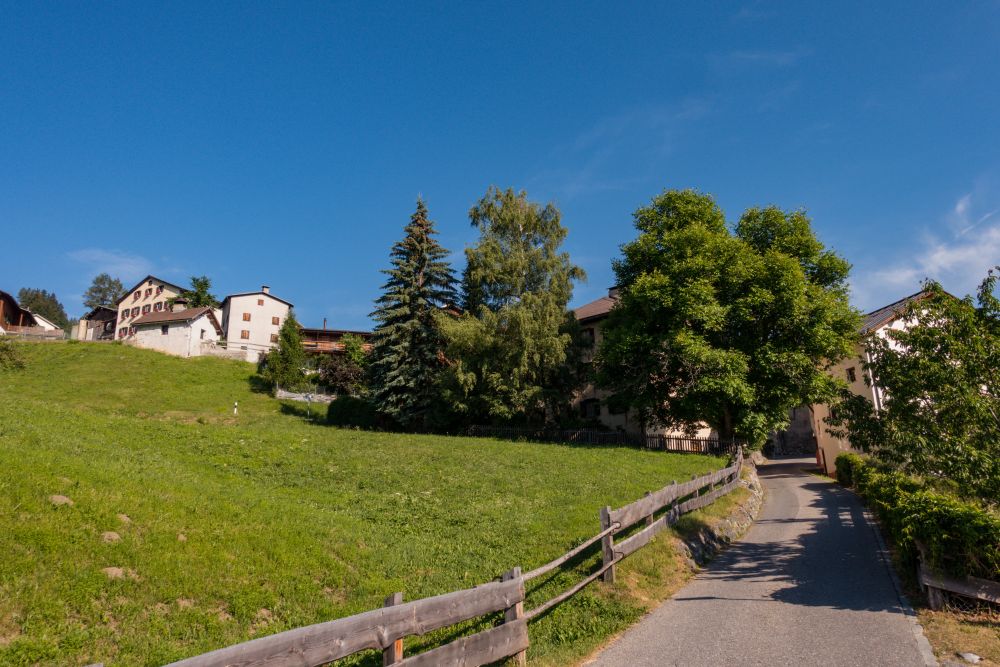
Stierva
(Town)
A beautiful Graubünden village perched on the hillside above Tifencastel.
The 5 day forecast in Stierva
Webcams
We could not find any webcams in the area close to this hike.
Need some hiking down-time?
If you need a day off from hiking, below are some of the great things you can do within 30 km from the start of this hike.
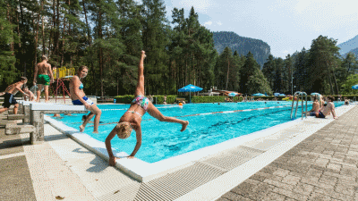
Thusis outdoor pool
(10.9 km away)
A wonderful outdoor pool surrounded by pine woods. Beautiful!
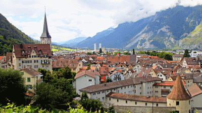
Chur
(23.3 km away)
Wander around the well preserved, oldest town in Switzerland
Rate this hike
Have you down this hike? What did you think? Please leave us a rating!
Thanks for your rating!
Leave us a comment - thanks!
Interested in this hike?
Please feel free to contact us for more information.