Starkenbach – Vorderhöhi – Stein – Starkenbach

A glorious hike at the end of the Churfirsten
A lovely stroll high above and around one of the quietest parts of the Toggenburg - ending with a lovely stroll along the river Thur.
This is a circular hike starting from Selunbahn Talstation, Alt Saint Johann in St Gallen (north-east Switzerland).
Time of year: Spring, Summer, Autumn
Tags: Circular hike, Public transport, Mountain transport, Can be shortened
Rating: ![]()
Hiked by us on: 25th July 2020
This hike starts at the valley station of the Starkenbach gondola station where you have a choice. You can either ride in the unique gondola (and it really is unique) or hike up the 670 height meters to the top station.

If you are feeling fit and choose to walk up, there are plenty of reasons to take a break and and enjoy the views.
Regardless of how you get to the top station, facing away from the top station turn right (south west) and head along the Toggenburger Höhenweg (marked as route 48).

After 30 minutes or so of easy hiking along a broad, undulating track you’ll reach the Ochsenhuütte.

It’s only a small hut, but beautifully rustic. You’ll find food and drink and can even spend the night here for a real alpine hut experience.
Moving on from the Ochsenhütte you’ll pass a few more huts with lovely views across Toggenburg.

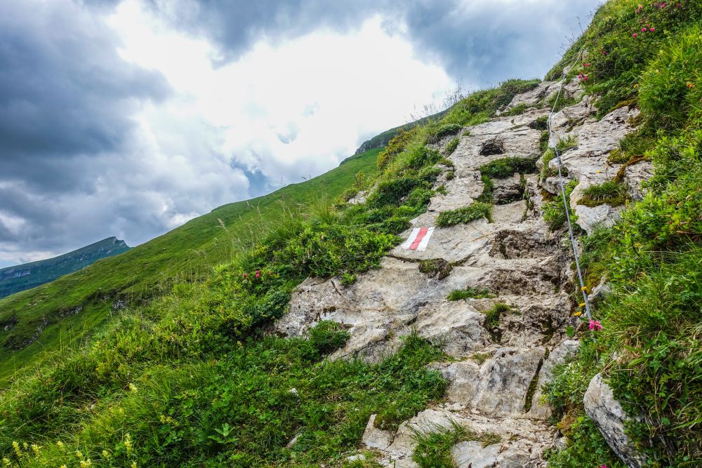
After another 45 minutes the path head steeper downhill with a wire to use if needed (it’s really not too steep).

Shortly after the steep section you’ll pass a path leading off to the left which would lead over the Churfirsten to the Walensee – but rather carry on along route 48. Shortly after there’s another steepish section (also with a wire to use if needed) – but it’s also not too bad.
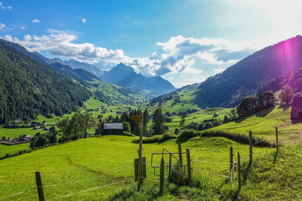
The path will now swing right and head in a more northerly direction. You’ll pass along the top of the head of a valley where make sure to look down to see some pretty impressive erosion.

The path continues and heads toward the Flügespitz where you can nip up and down to this peak in 10 minutes if you like. After this continue further along route 48 still heading north – there are wonderful views into the Toggenburg valley to the right.

This is a lovely section though woods, meadows and marsh land. You’ll soon reach the huts at Vorderhöhi. Here, leave route 48 and turn onto route 5. This route heads steadily downhill back into the Toggenburg valley.
It’s a pretty route with lovely meadows and woods to pass through.

After an hour or so, you’ll join and follow the river with it’s quite impressive steps.

Eventually the path turns sharp left away from the river and then right to head into the village of Stein.
Now walk through the very small village, crossing the main road and river and turn right to head back towards Starkenbach on route 24.

You’ll follow the river for around 45 minutes to an hour and then finally arrive back in Starkenbach.
Food, accommodation and/or villages we found on this hike
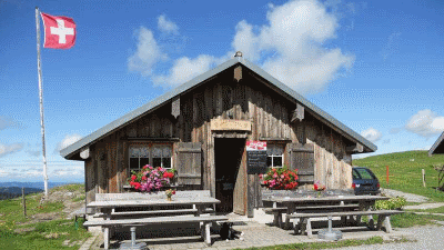
Ochsenhütte
(Food and accommodation)
The cozy mountain restaurant "zum Ochsen" is located on the beautiful Alp Selun in Toggenburg, at an altitude of 1677 meters above sea level. When the weather is good, you can enjoy a wonderful view from the Glarus Alps, over the Speer and the Alpstein, to Lake Constance.
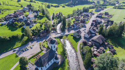
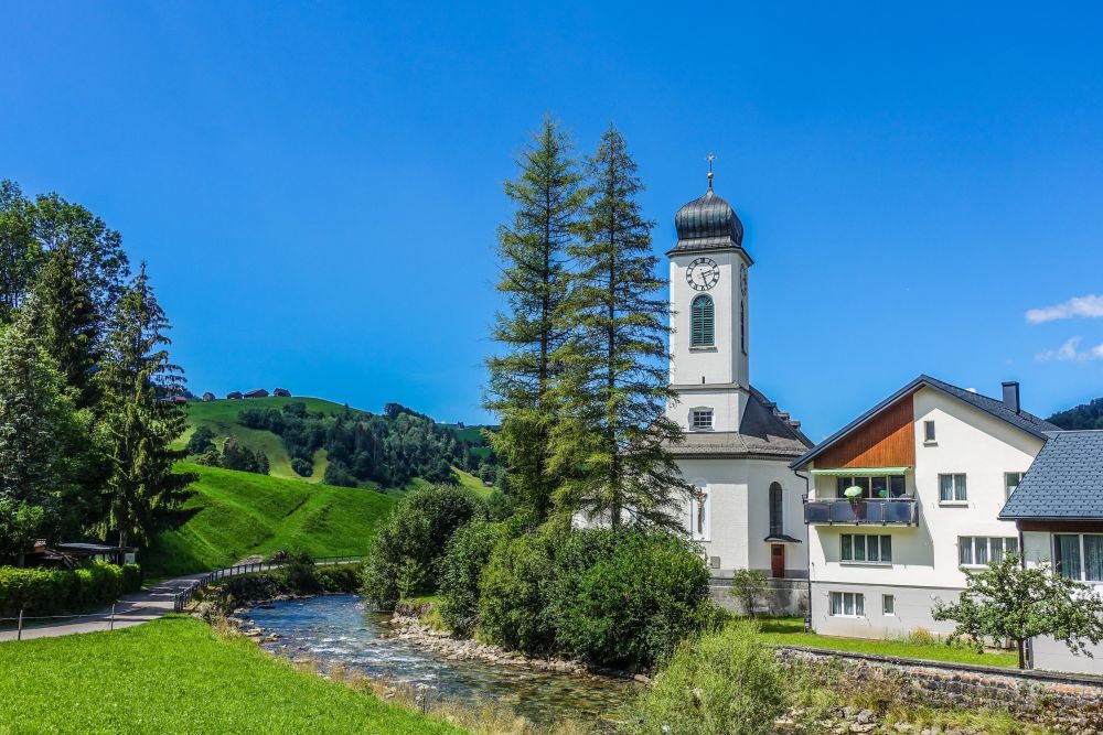
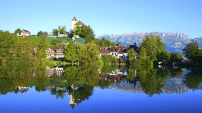
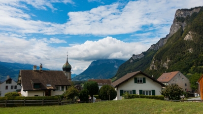
Stein
(Town)
Flanked by high mountain peaks such as Goggeien, Stockberg and Neuenalpspitz, the tranquil village of Stein SG invites you to walk and hike. The Thurweg, like the Thur, which is still a stream here, leads through the middle of the village. The summits tempt you to take mountain hikes with a wonderful panoramic view.
The 5 day forecast in Wildhaus
Webcams
We could not find any webcams in the area close to this hike.
Need some hiking down-time?
If you need a day off from hiking, below are some of the great things you can do within 30 km from the start of this hike.
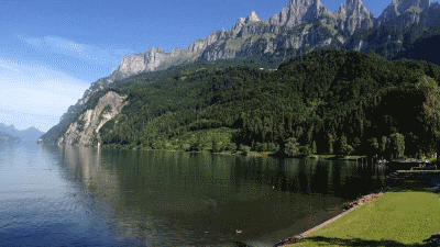
Walenstadt lakeside beach
(7.5 km away)
Large grassy swimming area with wonderful views of the surrounding mountains
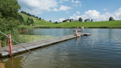
Badi Schönenbodensee, Wildhaus
(9.1 km away)
Beautiful small lake for swimming above Wildhaus below the Alpstein
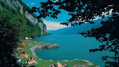
Lago Mio
(11.0 km away)
Lovely little swimming area on the banks of the Walensee close to Weesen
Werdenberg
(15.9 km away)
800 years of history and the smallest city in Switzerland - beautifully preserved places to visit
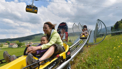
Kronberg Alpine park
(16.2 km away)
Alpine "park" with summer sledge run and rope park - fun for all!
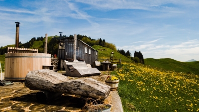
Hot-pot Appenzellerland
(17.5 km away)
Relax in a a unique hot-tub surrounded by Appenzeller hills and mountains
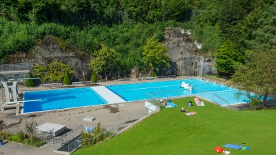
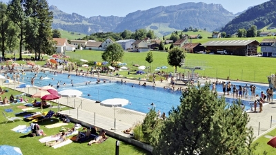
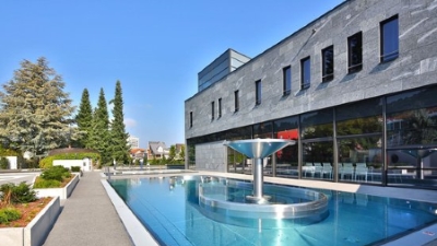
Lichtensteig outdoor pool
(19.8 km away)
Wonderful relaxing pool in the Toggenburg region
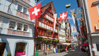
Appenzell town
(20.2 km away)
Wonderful historic picturesque town at the foot of the Alpstein mountain range
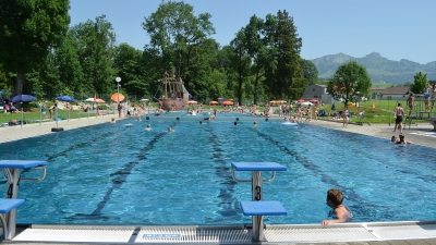
Appenzell outdoor pool
(20.3 km away)
Great outdoor pool in the shadow of the Alpstein mountain range
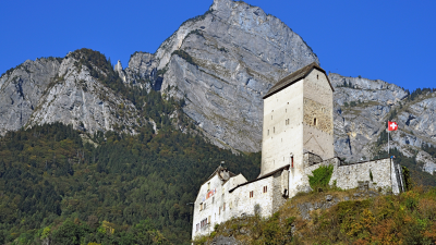
Sargans castle
(20.4 km away)
900 year old castle full of history (and a restaurant)
Gais outdoor pool
(25.6 km away)
Small quiet outdoor pool in Appenzellerland
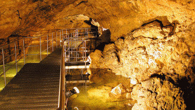
Kobelwald crystal caves
(26.3 km away)
Fascinating underground caves - worth a visit in any weather
Flaesch village
(26.6 km away)
A beautiful small village renowned for its wine growing and opportunities to buy local wine.
Tamina thermal baths
(28.0 km away)
Exclusive wellness center, treat yourself!
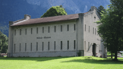
St Luzisteig military museum
(28.4 km away)
The eventful history and history of Luzisteig dates back to the 15th century.
Rate this hike
Have you down this hike? What did you think? Please leave us a rating!
Thanks for your rating!
Leave us a comment - thanks!
Interested in this hike?
Please feel free to contact us for more information.