Berghaus Malbun – Margelchopf (2164m) – Untersäss – Berghaus Malbun

Up to the Margelchopf at 2164m in a single afternoon
A rather short walk up Margelchopf that still feels remote and adventurous. It offers great views in all directions and a lovely waterfall on the way down. Perfect if you'd like to get into the mountains but only have an afternoon or limited time!
This is a circular hike starting from Berghaus Malbun Buchserberg in St Gallen (north-east Switzerland).
Time of year: Spring, Summer, Autumn
Tags: Circular hike, Ice-cream at end of hike
Rating: ![]()
Hiked by us on: 20th May 2020
This walk up Margelchopf allows reaching a mountain that feels rather remote, while having fairly little effort to get there. It can be done in an afternoon and the view along the way and from the top are amazing. Plus there is a waterfall to to visit on the way down.
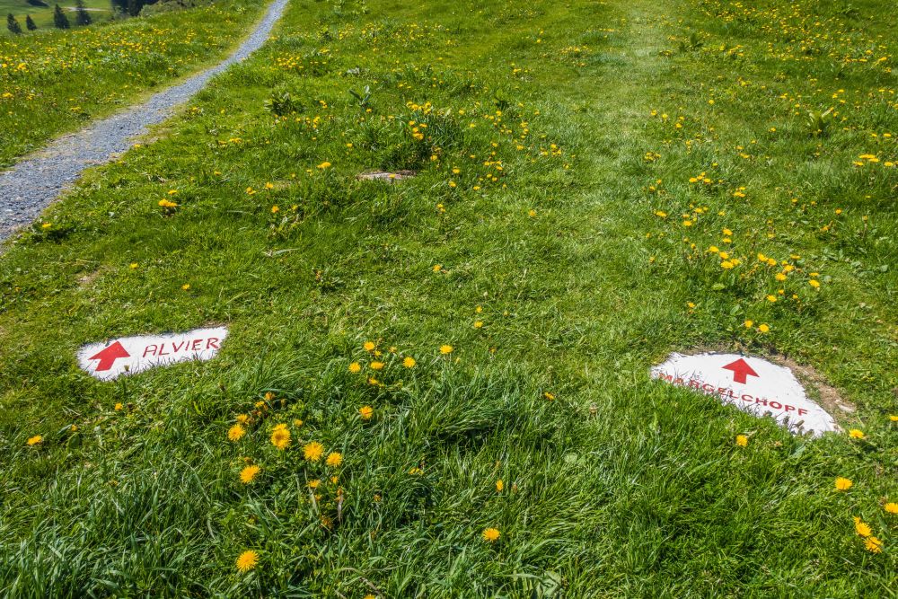
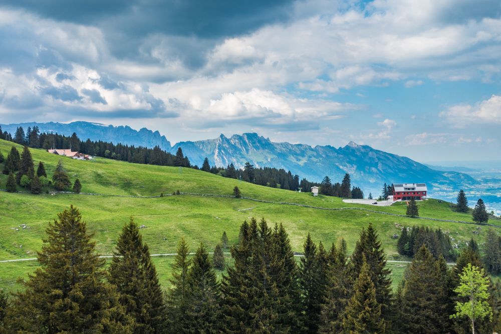
Start at the Berghaus Malbun – a bus travels up or there is a large parking lot. The path leads uphill through the field directly above the parking lot and a couple of rocks on the ground are marked to show you the way.
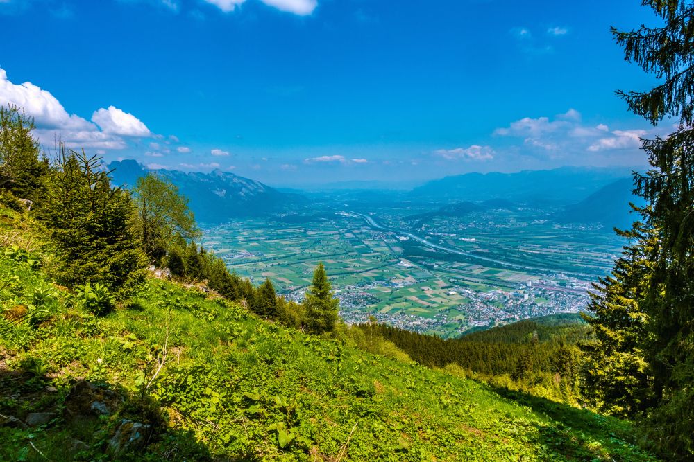
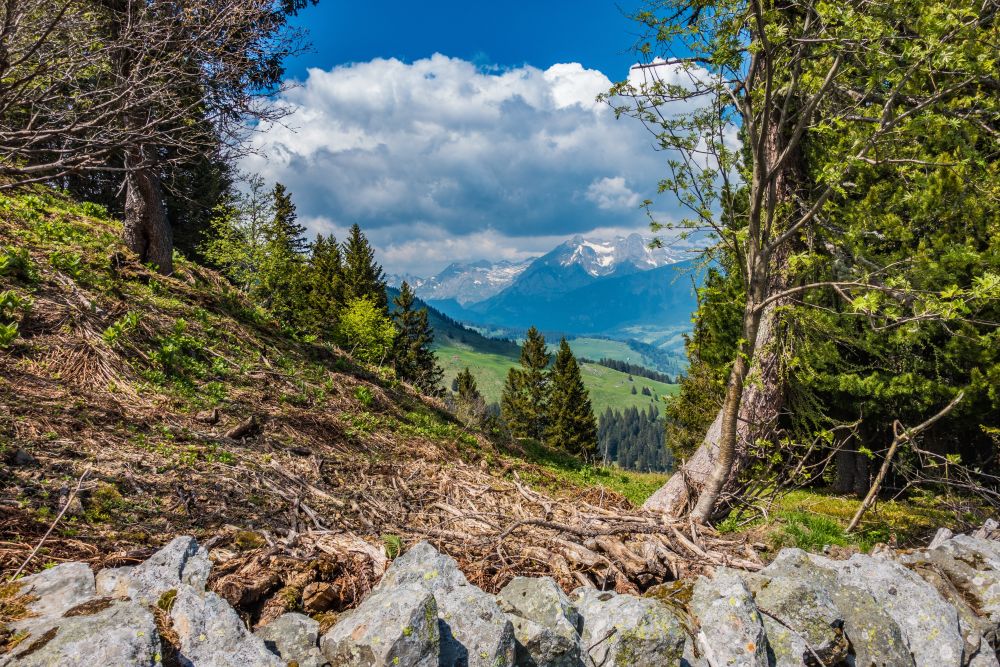
Follow the path uphill. It will soon reach a road, which you follow along for a few meters and then turns off to the right. Keep going uphill, mostly through fields but also a few wooded areas. You will cross a road occasionally, but the path itself cuts of the bends of the road. Soon the views of the Rhine valley open up and you will also see the Toggenburg mountains in the distance.
At the top end of the road you will reach the huts of Obersäss. There are a few more bends of the path to cross but then you will reach the more flat areas above. And soon you have your first view of Margelchopf in the distance.
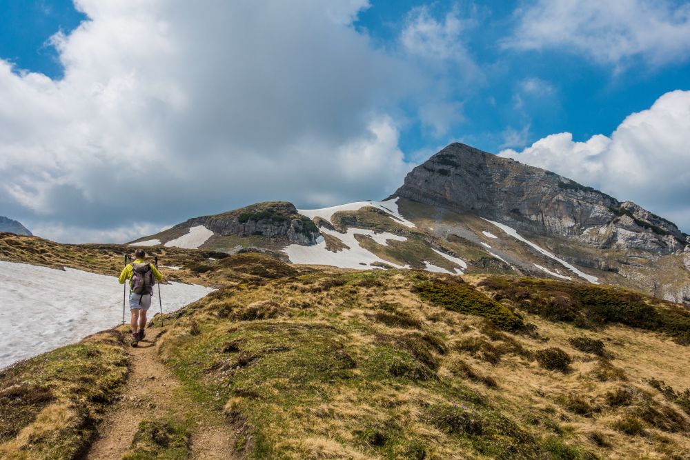
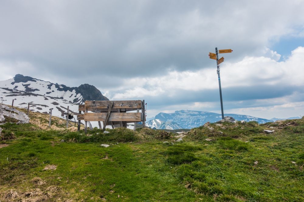
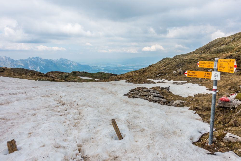
There are a few lakes to your left not and the path is fairly even and easy up here. Only once you get close to Isisizgrat ridge does the path get steeper again. Once you have reached the pass on the ridge, you have a lovely view down into the other side.
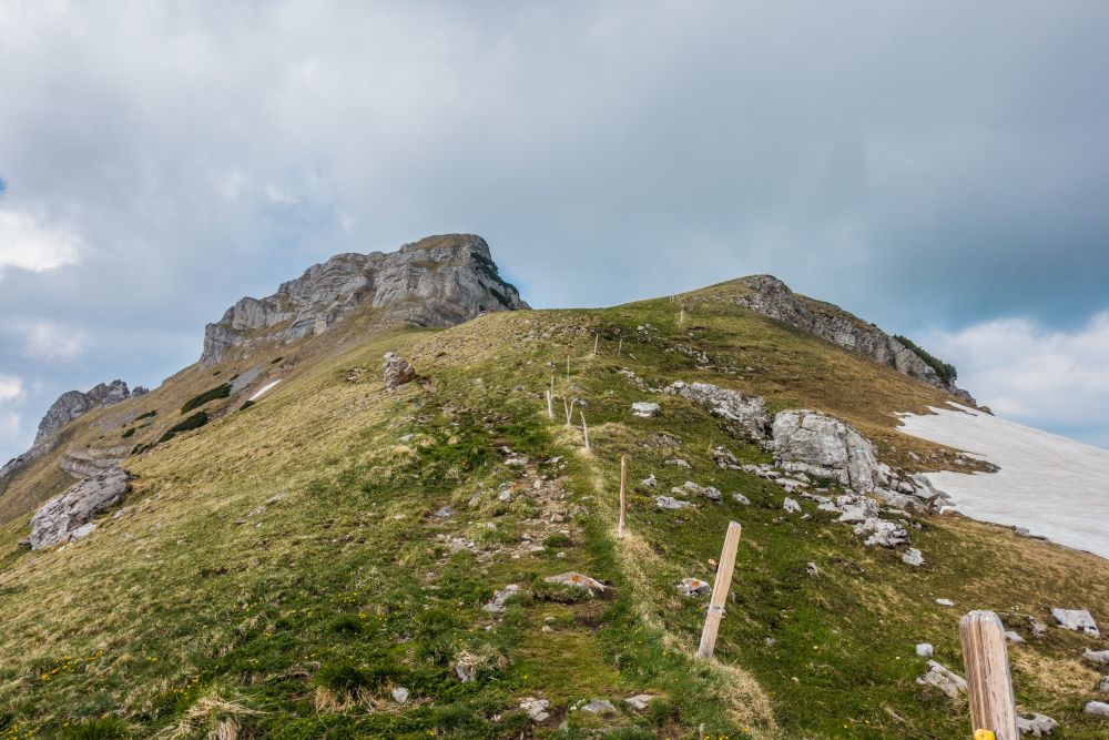
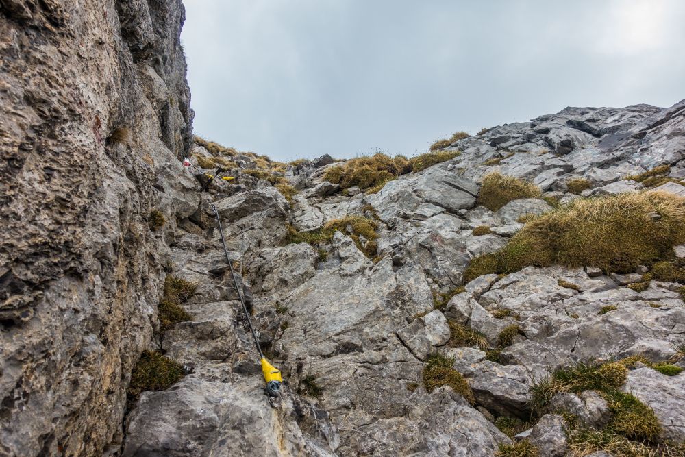
Turn right along the ridge and walk easily up to the rocks. Now you have about 100 height meters left to the top, but this last section is the most challenging. The path now leads almost directly up to the top. There is a bit of scrambling and using your hands involved and there is a rope available in parts to hold onto.
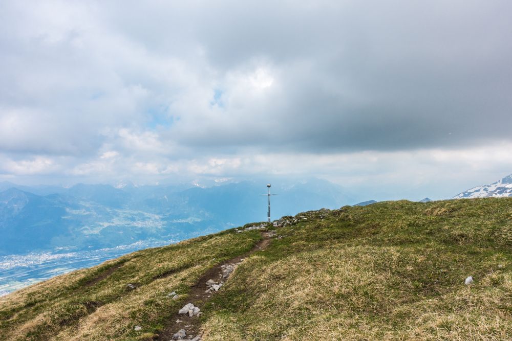
And then you are at the top of Margelchopf. There is a shiny cross on the top and the views are just amazing. Plan some time up here to admire.
From the top, make your way back to the pass. But instead of turning back the way you came up, turn slightly right and take the path to Glanna. The walk is very easy and even along here, until you reach the Glanna ridge. At the ridge you will look down the steep slope that leads down to Altsässobersäss.
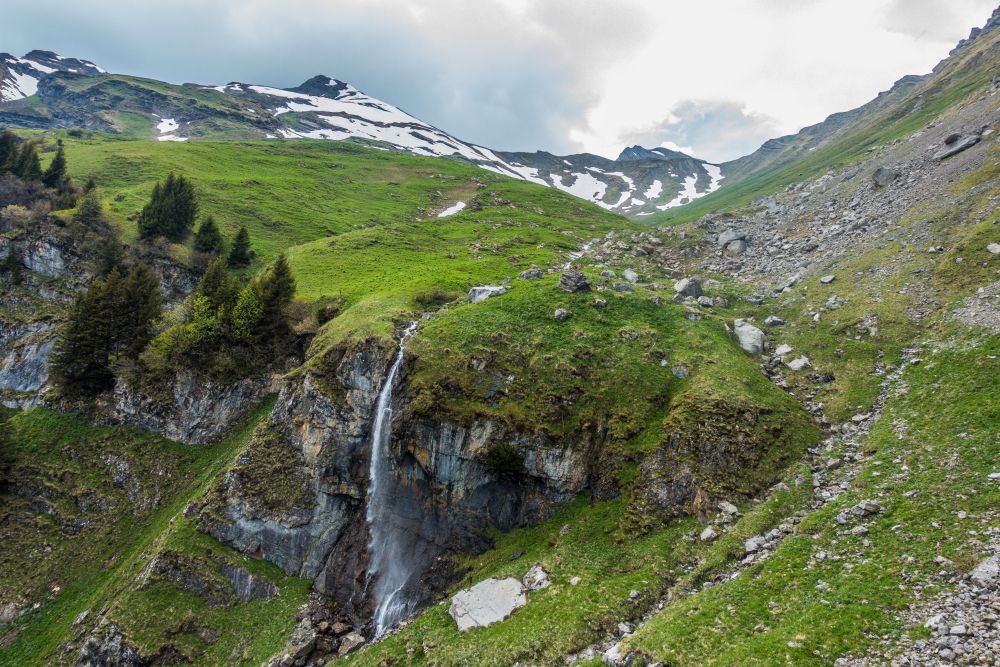
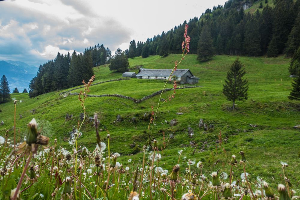
Make your way down the slope, which will lead you to the Altsässobersäss set of huts. Here turn left and follow the path around the valley on the left slope. It is a bit further downhill now and then in a wide bend, a lovely waterfall will come into view.
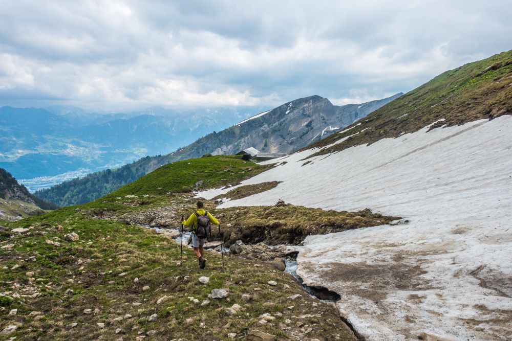

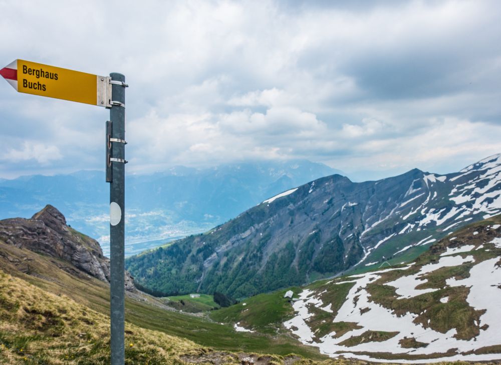
Continue downhill and soon you will reach a gravel road, where you have a lovely view of Alvier on your right. Turn left along the road and follow it along through mostly woods but also some fields until some wooden huts and Berghaus Malbun come into view again.

Now it’s only one more wide bend of the road and crossing the field above the parking lot and you are back at the start.
We did not find any places for food or accomodation on this hike. Take your own supplies!
The 5 day forecast in Buchs
Webcams
We could not find any webcams in the area close to this hike.
Need some hiking down-time?
If you need a day off from hiking, below are some of the great things you can do within 30 km from the start of this hike.
Werdenberg
(3.1 km away)
800 years of history and the smallest city in Switzerland - beautifully preserved places to visit
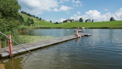
Badi Schönenbodensee, Wildhaus
(8.6 km away)
Beautiful small lake for swimming above Wildhaus below the Alpstein
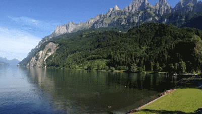
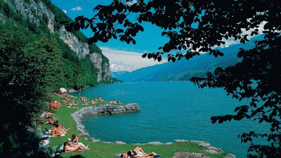
Walenstadt lakeside beach
(10.3 km away)
Large grassy swimming area with wonderful views of the surrounding mountains
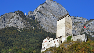
Sargans castle
(10.7 km away)
900 year old castle full of history (and a restaurant)
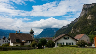
Flaesch village
(14.6 km away)
A beautiful small village renowned for its wine growing and opportunities to buy local wine.
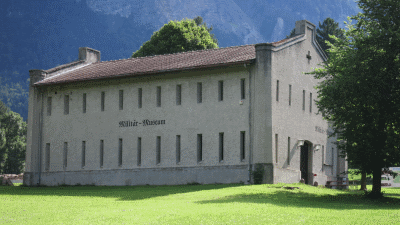
St Luzisteig military museum
(16.6 km away)
The eventful history and history of Luzisteig dates back to the 15th century.
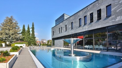
Tamina thermal baths
(17.0 km away)
Exclusive wellness center, treat yourself!
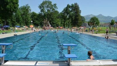
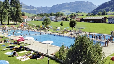
Appenzell outdoor pool
(20.1 km away)
Great outdoor pool in the shadow of the Alpstein mountain range
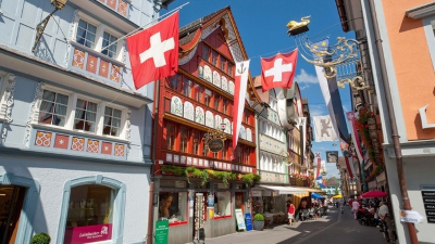
Appenzell town
(20.7 km away)
Wonderful historic picturesque town at the foot of the Alpstein mountain range
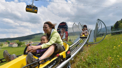
Kronberg Alpine park
(20.9 km away)
Alpine "park" with summer sledge run and rope park - fun for all!
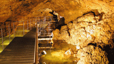
Kobelwald crystal caves
(21.0 km away)
Fascinating underground caves - worth a visit in any weather
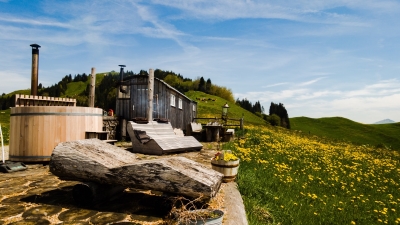
Hot-pot Appenzellerland
(22.7 km away)
Relax in a a unique hot-tub surrounded by Appenzeller hills and mountains
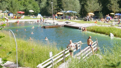
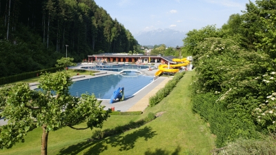
Alvier outdoor pool
(23.8 km away)
A beautiful natural outdoor pool filled by drinking water standard water
Lago Mio
(23.8 km away)
Lovely little swimming area on the banks of the Walensee close to Weesen
Gais outdoor pool
(24.9 km away)
Small quiet outdoor pool in Appenzellerland
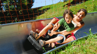
Laterns summer sledge run
(26.5 km away)
Sledging in the summer on the Laterns Sommerrodelbahn
Götzis outdoor pool
(26.5 km away)
Beautiful area for enjoying the sun and a relaxing swim
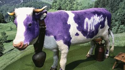
Milka chocolate factory
(28.8 km away)
Immerse yourself in the exciting discovery of the Milka chocolate world and enjoy pure adventure shopping!!
Rate this hike
Have you down this hike? What did you think? Please leave us a rating!
Thanks for your rating!
Leave us a comment - thanks!
Interested in this hike?
Please feel free to contact us for more information.