Search for a hike using the options below
Show / hide search options
Number of hikes which have been found: 110


Wedhapfen – Gasthaus Ahorn – Leuenfall – Wedhapfen
Time of year
Spring, Summer, Autumn
Circular hike from
Region
Appenzellerland, north-east Switzerland
Time
2.5 hours
Distance
7.5 km
Ascent
450 m
Difficulty
2

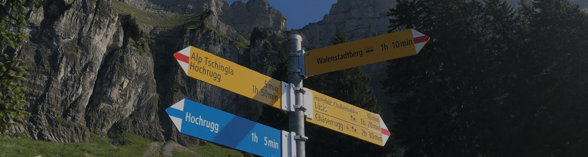
Walenstadt – Lüsis – Obersäss – Walendstadtberg
Time of year
Spring, Summer, Autumn
Circular hike from
Region
St Gallen, north-east Switzerland
Time
7 hours
Distance
18.1 km
Ascent
1520 m
Difficulty
2

Berghaus Malbun – Margelchopf (2164m) – Untersäss – Berghaus Malbun
Time of year
Spring, Summer, Autumn
Circular hike from
Region
St Gallen, north-east Switzerland
Time
4 hours
Distance
9.5 km
Ascent
870 m
Difficulty
4

Triesenberg, Rizlina – Alpelti – Silum -Triesenberg, Rizlina
Time of year
Spring, Summer, Autumn, Winter
Circular hike from
Region
Liechtenstein, north-east Switzerland
Time
2.5 hours
Distance
8.7 km
Ascent
530 m
Difficulty
2

Brülisau – Lake Fählensee – Zahme Gocht – Brülisau
Time of year
Spring, Summer, Autumn
Circular hike from
Region
Appenzellerland, north-east Switzerland
Time
6 hours
Distance
21 km
Ascent
1100 m
Difficulty
3

Jakobsbad – Kronberg (1662m) – Petersalp – Jakobsbad
Time of year
Spring, Summer, Autumn
Circular hike from
Region
Appenzellerland, north-east Switzerland
Time
6 hours
Distance
16.5 km
Ascent
1150 m
Difficulty
2

Rebstein – Schloss Weinstein – Töbeli – Rebstein
Time of year
Spring, Summer, Autumn, Winter
Circular hike from
Region
St Gallen, north-east Switzerland
Time
2 hours
Distance
4.5 km
Ascent
200 m
Difficulty
2

Heiden – Kaienspitz (1121m) – Rehetobel – Heiden
Time of year
Spring, Summer, Autumn, Winter
Circular hike from
Region
Appenzellerland, north-east Switzerland
Time
3.5 hours
Distance
10 km
Ascent
590 m
Difficulty
2

Brülisau – Fähnerenspitz (1505m) – Brülisau
Time of year
Spring, Summer, Autumn
Circular hike from
Region
Appenzellerland, north-east Switzerland
Time
4 hours
Distance
9 km
Ascent
610 m
Difficulty
2

Lago di Braies – Kuehwiesenkopf – Grünwaldalm – Lago di Braies
Time of year
Summer, Autumn
Circular hike from
Region
South Tyrol, the Dolomites, Italy
Time
5.5 hours
Distance
13.8 km
Ascent
905 m
Difficulty
2

Lago Antorno – Tre Cime – Forcola de le Col de Medo – Lago Antorno
Time of year
Summer, Autumn
Circular hike from
Region
Veneto, the Dolomites, Italy
Time
6.5 hours
Distance
18.1 km
Ascent
900 m
Difficulty
3

Tre Croci – Lago Sorapis – Forcolla Marcuoira – Tre Croci
Time of year
Summer, Autumn
Circular hike from
Region
Veneto, the Dolomites, Italy
Time
5.5 hours
Distance
7.9 km
Ascent
790 m
Difficulty
4
Click or tap on a hike to find out more.
Please wait a moment while we get the maps!
Interested in any of these hikes?
Please feel free to contact us for more information.